Subject: Oklahoma
Period: 1838 (published)
Publication: Sen. Doc. 120, 25th Congress, 2nd Session
Color: Black & White
Size:
6 x 9.3 inches
15.2 x 23.6 cm
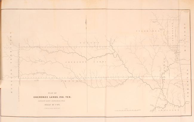
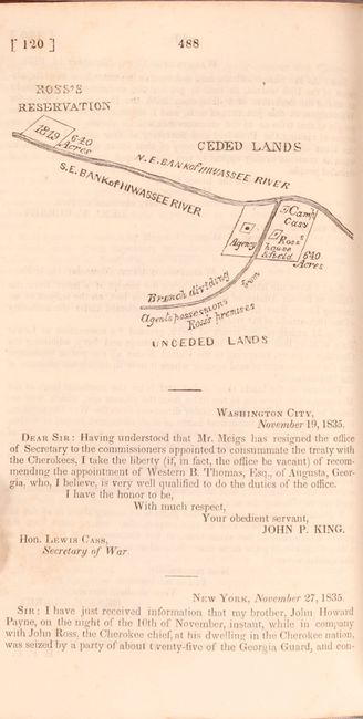
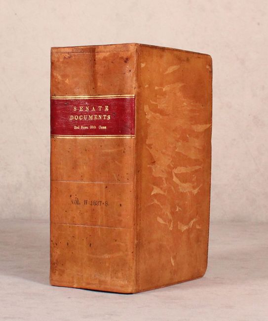
This is one of the earliest printed maps to depict present-day Oklahoma in any detail. It shows a track of land that extends from the borders of Missouri and Arkansas to the "Western Limits of the United States" (100° W. Longitude from Greenwich). The map was drawn at the conclusion of the "Trail of Tears" and shows the furthest extent of the land reserved to the Cherokees, as well as several other reservations (part of which are in what is present-day Kansas). A terrific and early Indian Territory map surveyed by J.C. McCoy under Isaac McCoy's direction, dated in the plate Sept. 20th, 1837. The map is still bound in the original, complete document "Report from the Secretary of War in Compliance with a Resolution of the Senate of the 13th October, 1837 in Relation to the Cherokee Treaty of 1835," which is a massive compilation of documents related to the Treaty of Echota. It also contains a smaller map of John Ross' property (p. 488) within the text. 1090 pages with folding map (p. 952). Printed by Blair and Rives. Hardbound in full leather with gilt title on spine label.
References:
Condition: B+
The folding map is very good with minor foxing at top and a 1.25" binding tear at left that has been closed on verso with archival tape. Report text is mostly clean and bright with occasional light foxing and a small dampstain in the top right corner of the first 40 pages of text. Both covers have some gouges in the leather and the edges are bumped.