Subject: New York
Period: 1878 (published)
Publication:
Color: Hand Color
Size:
5.3 x 106.3 inches
13.5 x 270 cm
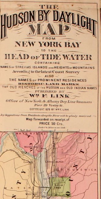
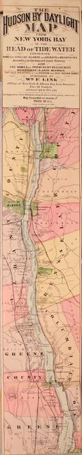
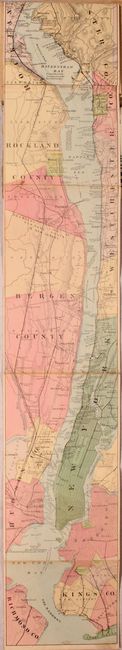
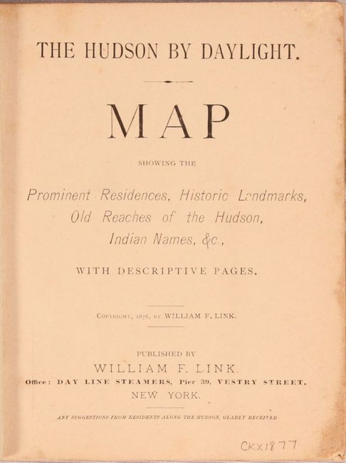
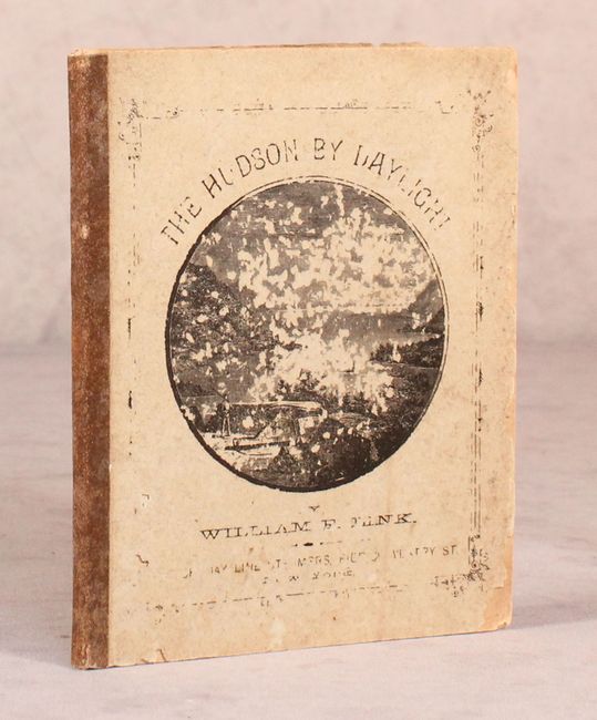
A remarkable map in strip-chart format that is over 100 inches long! Includes amazing detail on the map that is drawn on a scale of 1.5 miles per inch. Complied from U.S. Coast Survey data, this extraordinary map includes the names of prominent residences along the Hudson, historical landmarks and Indian names. Includes 32 pp. of descriptive text and numerous advertisements. Folds into paper wrappers with title page "The Hudson by Daylight. Map Showing the Prominent Residences, Historic Landmarks, Old Reaches of the Hudson, Indian Names, &c., with Descriptive Pages."
References:
Condition: B+
The map has light soiling and minor wear along a few fold lines from use. A few small separations on one fold have been closed on verso with archival tape. Trimmed to the neatline at top as issued. Text is lightly toned and paper wrappers are moderately worn and chipped along the edges.