Catalog Archive
Auction 168, Lot 242

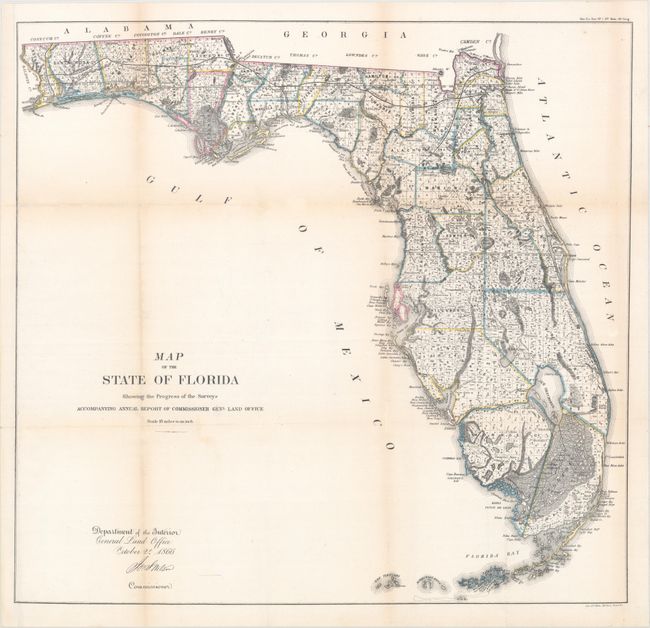
"Map of the State of Florida Showing the Progress of the Surveys Accompanying Annual Report of Commissioner Genl. Land Office", General Land Office

Subject: Florida

Period: 1866 (dated)

Publication: Sen. Ex. Doc. No. 1, 36th Cong., 2nd Session

Color: Hand Color

Size:
24.4 x 23.3 inches
62 x 59.2 cm
Download High Resolution Image
(or just click on image to launch the Zoom viewer)

This detailed map is drawn on a scale of 18 miles to the inch with most of the state shown as surveyed. Also depicted are towns, cities, forts, rivers, lakes, swamps and many early trails and roads. The map extends to the Keys, Dry Tortugas Island and Ft. Jefferson, and locates Ft. Lauderdale, Boca Rabones, Key Biscayne and scores of smaller keys. It is signed in the plate by Joseph S. Wilson, Commissioner of the General Land Office. Lithographed by Bien in New York.

References:

Condition: B

Issued folding and now flattened and backed with tissue to reinforce and repair numerous fold separations with minute loss at a few fold intersections. Light toning along the folds with a binding trim at lower left that has been seamlessly replaced.

Estimate: $160 - $200

Sold for: $120

Closed on 6/6/2018

Archived