Subject: New England - United States
Period: 1839-41 (dated)
Publication: A New Universal Atlas
Color: Hand Color
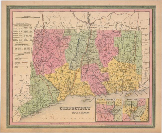
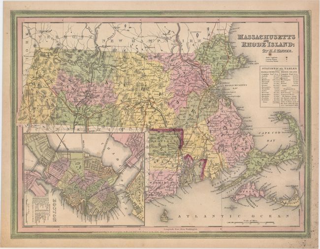
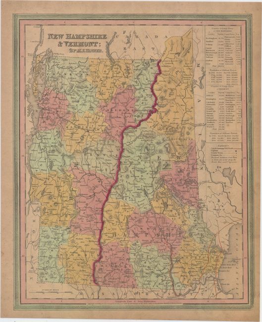
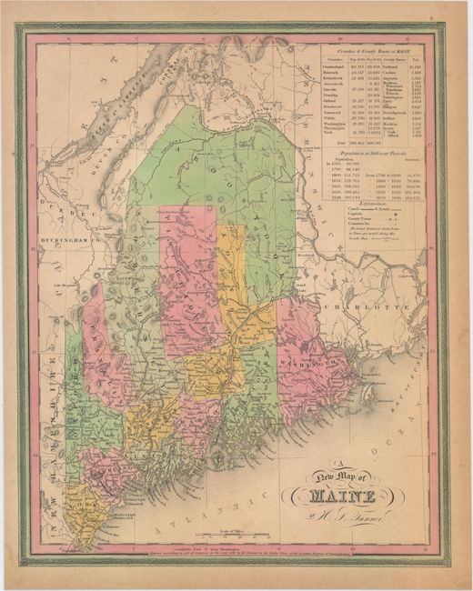
This attractive lot features four maps of the northeast from Tanner’s Universal Atlas. Each is hand colored to show county configurations and depicts towns, roads, railroads, and canals. Tables list the counties, county seats, and population statistics for each state.
A. Connecticut, dated 1839 (14.6 x 12.0"). Includes insets of Hartford and New Haven. Condition: A few light spots in the image and light toning along edges of sheet. (B+)
B. Massachusetts and Rhode Island, dated 1841 (14.9 x 11.3"). Includes an inset of Boston with a numbered key listing 20 important locations. Condition: A few tiny spots in the image and mildew stains in the lower right blank margin. (B+)
C. New Hampshire & Vermont, dated 1840 (11.8 x 14.6"). Condition: Light soiling and toning. (B)
D. A New Map of Maine, dated 1840 (11.8 x 14.9"). Condition: Light toning and a few faint spots in the image. There is a short edge tear in the bottom right corner. (B+)
References:
Condition:
See description above.