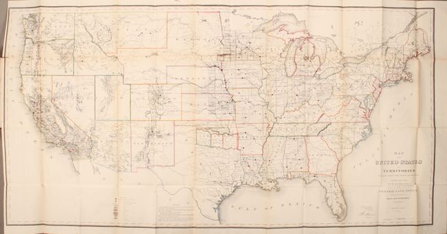
Subject: United States
Period: 1867 (published)
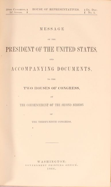
Publication: H.R. Exec. Doc. 1, 39th Congress, 2nd Session
Color: Hand Color
Size:
55.6 x 28 inches
141.2 x 71.1 cm
This is one of the more remarkable maps produced by the General Land Office. It shows the extent of the Public Surveys in 1866 and is filled with features of great interest. Most significant are the gold, silver, copper, and other mineral deposits that are color-coded and keyed to the legend. The sites of army forts and posts provide an excellent view of the undeveloped territories and the western frontier. Details include land grants, townships, subdivisions, railroads, mining districts, etc. Present-day Wyoming is shown as an appendage to Dakota Territory. Made under the direction of Hon. J.S. Wilson, Commissioner, by Theodore Franks.
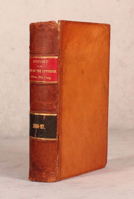
The map is still bound into the 614 page Report of The Secretary of the Interior. Octavo, hardbound in full leather.
References:
Condition: B+
The map is clean and bright with a bit of light toning along the folds, a few small fold separations, and two edge tears at left that just enter the map image (0.5" and 1.0" respectively). The report text is very good with toning on a small number of pages. The hinges are starting and the spine and covers have light wear with a few small chips and abrasions.