Subject: Geography Books
Period: 1778 (published)
Publication:
Color: Hand Color
Size:
2.4 x 3.8 inches
6.1 x 9.7 cm
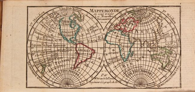
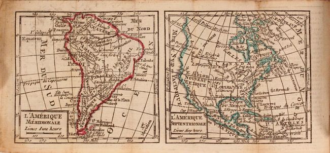
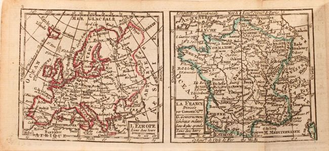
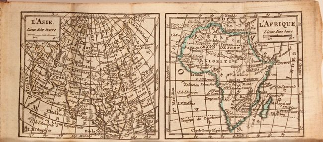
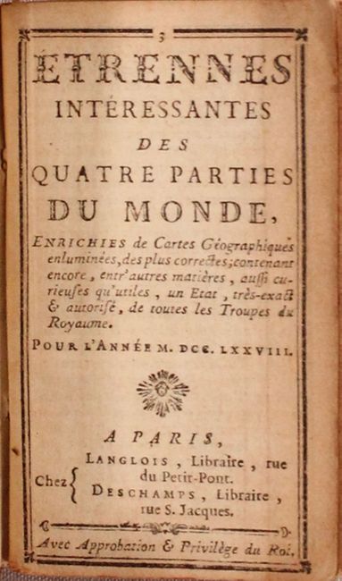
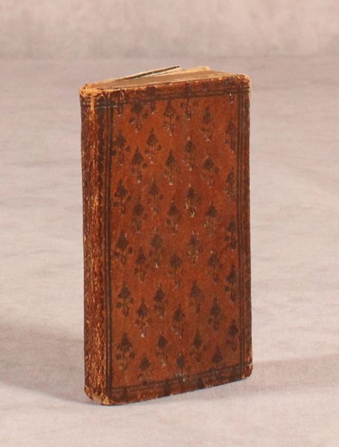
This uncommon and complete miniature geography includes a folding double-hemispheric map "Mappemonde ou Sont Tracees les Nouvelles Decouvertes" by Brion de la Tour, with maps of Europe and France on the verso, a very uncommon configuration for this period. Another folding map has maps of Asia and Africa on one side and maps of North America and South America on the other side. The map of North America, L'Amerique Septentrionale, shows the colonies confined to the eastern seaboard, with a large Louisiane to the west. A number of cities are named, including Sa Fe, which is located too far north. The west is labeled as N. Albion and Nouveau Mexique. The book includes tables giving the positions of planets and celestial bodies throughout the year, the history of French monarchs and politicians, and a section on each country in Europe and for the continents. Published in Paris by Langlois and Deschamps. 48mo., 158 pp. Lovely, original embossed full leather covers and spine.
References:
Condition: B+
The maps of the world, Europe and France are in near fine condition with a hint of toning along one fold and minor offsetting. The maps of the remaining continents are very good with light toning, soiling, and offsetting. The text also has light toning with a damp stain along the fore-edge. The binding is sound and the covers and spine show light wear.