Catalog Archive
Auction 167, Lot 375
"Carte de la Tartarie Orientale pour Servir a l'Histoire Generale des Voyages Tiree des Cartes Levees par les P.P. Jesuites", Bellin, Jacques Nicolas
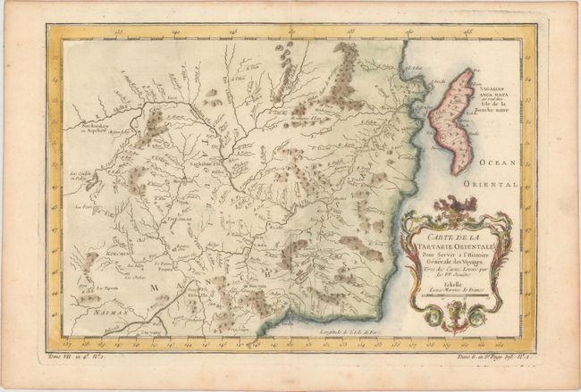
Subject: Northern Asia
Period: 1757 (published)
Publication: Histoire Generale des Voyages
Color: Hand Color
Size:
12.3 x 8.3 inches
31.2 x 21.1 cm
Download High Resolution Image
(or just click on image to launch the Zoom viewer)
(or just click on image to launch the Zoom viewer)