Subject: Cartographic Miscellany, World & Continents Puzzles
Period: 1823-26 (dated)
Publication:
Color: Hand Color
Size:
9 x 7.6 inches
22.9 x 19.3 cm
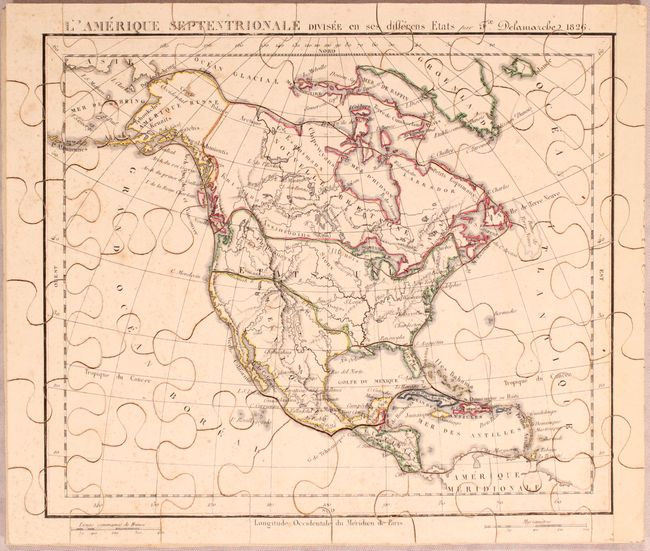
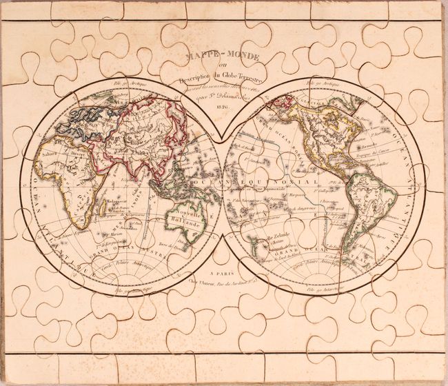
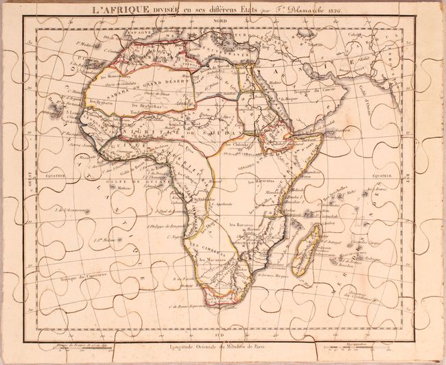
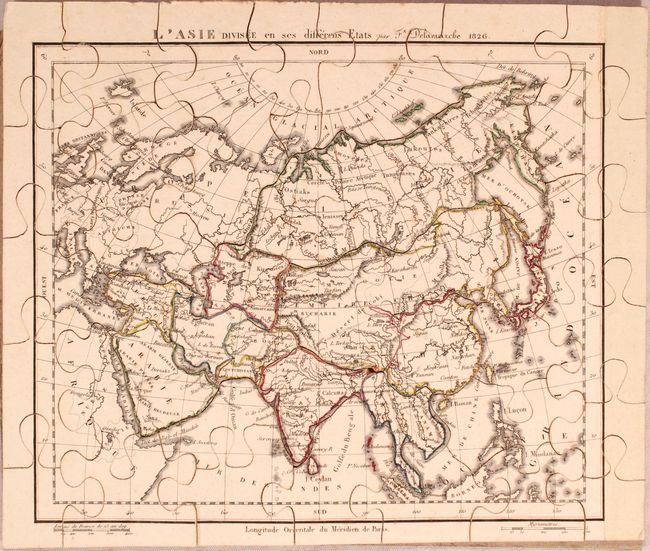
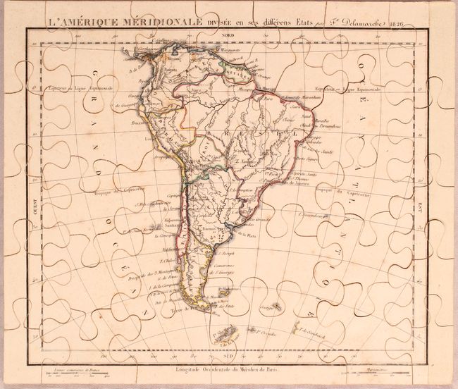
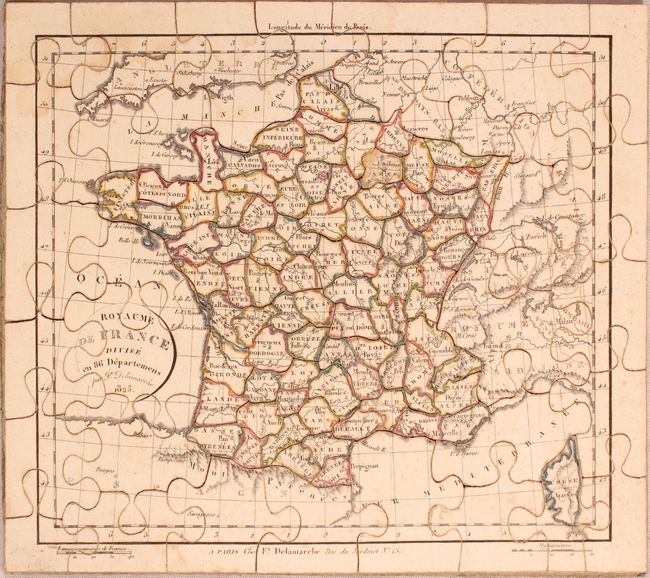
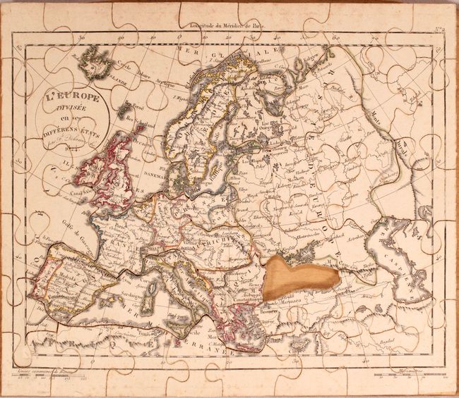
This fascinating French set is the earliest puzzle map series Old World Auctions has ever cataloged. It contains seven maps: the world in hemispheres, North America, South America, Asia, Africa, Europe and France. The map of North America shows Mexico in control of the Southwest, and the United States' boundary extends well into present-day British Columbia reflecting U.S. interests in the region. Lake Xarayes makes a late appearance in South America, and the fabled M. de la Lune (Mountains of the Moon) are depicted in Africa.
Each map measures approximately 10.1 x 8.5" when assembled, and the pieces are constructed of 1/8" thick wood. The original box is not present. The list of maps include:
A. Mappe-Monde ou Description du Globe Terrestre Suivant les Nouvelles Decouvertes, dated 1826.
B. L'Amerique Septentrionale Divisee en Ses Differens Etats, dated 1826.
C. L'Amerique Meridionale Divisee en Ses Differens Etats, dated 1826.
D. L'Afrique Divisee en Ses Differens Etats, dated 1826.
E. L'Asie Divisee en Ses Differens Etats, dated 1826.
F. L'Europe Divisee en Ses Differens Etats, dated 1824.
G. Royaume de France Divise en 86 Departemens, dated 1823.
References:
Condition: B+
Original outline color with light scattered foxing. The world map also has a damp stain at top left, and the map of Europe is missing one piece. Original box is not present.