Catalog Archive
Auction 167, Lot 121

"[Lot of 4] Map of Missouri [and] Map of Iowa [and] Page's Map of Kansas [and] Map of Nebraska", Page, H. R.

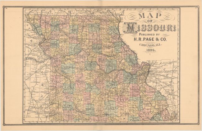
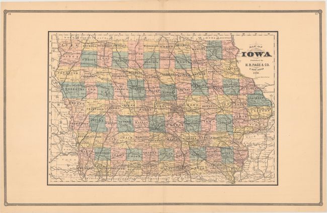
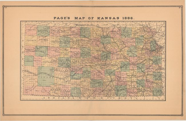
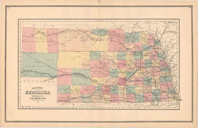
Subject: Central United States

Period: 1886 (dated)

Publication:

Color: Hand Color

Size:
26.4 x 16.1 inches
67.1 x 40.9 cm
Download High Resolution Image
(or just click on image to launch the Zoom viewer)

These four maps were published by the little-known H.R. Page & Co. firm of Chicago. County development is shown in attractive full hand color, which is uncommon for this late date. Each map is filled with details including railroads, roads, cities, towns, forts, and more. At this point in time, all states had been fully surveyed via the Public Land Survey System. In Nebraska, however, development is still confined to the eastern portion of the state, with a few non-county areas in the west.

References:

Condition: B+

Light toning with two small repaired edge tears confined to the bottom blank margins of the Iowa and Missouri maps. The toning on the map of Kansas is slightly more pronounced.

Estimate: $200 - $230

Unsold

Closed on 3/28/2018

Archived