Subject: References
Period: 1989 (published)
Publication:
Color: Black & White
Size:
36.4 x 24.5 inches
92.5 x 62.2 cm
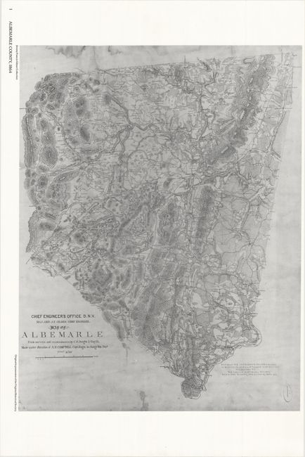
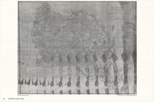
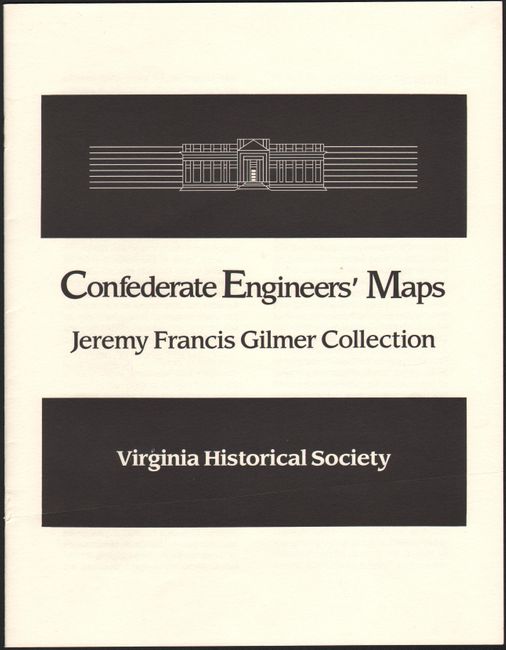
The Virginia Historical Society published these black and white reproductions of the manuscript maps made by Confederate engineers during the Civil War. These 67 maps (on 94 sheets) depict counties in Virginia and North Carolina, locating roads, bridges, railroads, waterways, farms, and plantations and featuring rich topographical detail. The Society's goal in preserving the large format of these maps was to allow collectors to really appreciate the minute details these engineers captured. The originals were produced by the Engineer Bureau of the Confederate States War Department under the supervision of its chief, Jeremy Francis Gilmer (1818-1883). Gilmer rescued many of these maps from the Evacuation Fire of Richmond in 1865. His daughter donated 63 of the 67 maps reproduced here to the Virginia Historical Society in 1911. The collection includes an 11-page brochure with an introduction and table of contents. Stored flat in a labeled cardboard box.
References:
Condition: A
Maps are in great condition with negligible wear.