Subject: References
Period: 1986 (published)
Publication:
Color: Printed Color
Size:
12.1 x 15.4 inches
30.7 x 39.1 cm
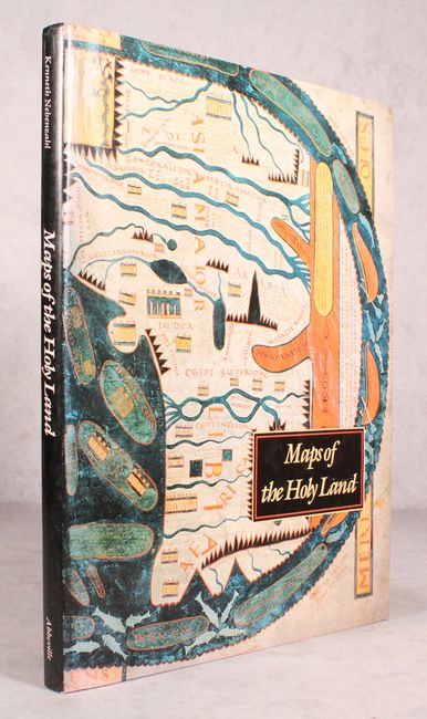
This book includes the most historically significant and beautiful Holy Land maps, including rare treasures of manuscript illumination and masterpieces of early printing. Lavishly illustrated with approximately 80 colored maps, many of which are double-page and triple-page foldouts. The author, a recognized authority on antique maps, presents maps from European, Byzantine, Arabic and Persian sources, each finely reprinted with useful descriptions. This important contribution, based on many years of research, is a pleasure to read. 164 pages, hardbound in black embossed cloth with dust jacket.
References:
Condition: A
Contents and covers very good with just a hint of soiling along the edge of some of the pages. The dust jacket has a minor amount of scuffs and shelf wear.