Catalog Archive
Auction 166, Lot 655

"Siberie ou Russie Asiatique, Tartarie Chinoise, Pays des Eluts et Isles du Japon", Robert de Vaugondy, Didier

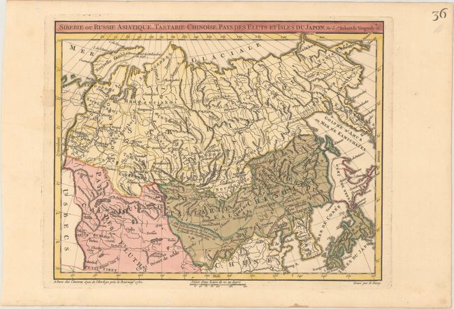
Subject: Northern Asia

Period: 1762 (dated)

Publication: Atlas Nouvel Portatif

Color: Hand Color

Size:
12.1 x 9.5 inches
30.7 x 24.1 cm
Download High Resolution Image
(or just click on image to launch the Zoom viewer)

This interesting map shows Russia, northern China, Korea, Japan, and parts of Central Asia. Mountain ranges, river systems, and key cities are shown. The great wall of China is graphically depicted, and a note adjacent to the Ula Gola mountain range (likely the Kunlun mountains) explains that the tombs of the family of Emperor Genghis Khan are believed to be located there. The sea between Japan and Korea is called Mer de Coree, and Hokkaido is only partially delineated. This is the first state, engraved by E. Dussy.

References: Pedley #403.

Condition: A

A crisp impression with original color on paper with a Strasbourg Lily watermark. There are several worm holes confined to the far blank margins.

Estimate: $80 - $100

Sold for: $60

Closed on 2/14/2018

Archived