Catalog Archive
Auction 166, Lot 645

"Palaestina", Anville, Jean Baptiste Bourguignon d'
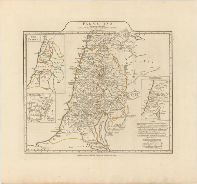
Subject: Holy Land

Period: 1794 (dated)

Publication: A Complete Body of Ancient Geography...

Color: Hand Color

Size:
16.6 x 14.7 inches
42.2 x 37.3 cm
Download High Resolution Image
(or just click on image to launch the Zoom viewer)

This is a fine map of Palestine on both sides of the Jordan River, which includes a large bulge between the Lake of Tiberias and the Dead Sea. Insets show the twelve Tribes of Israel and a plan of ancient Jerusalem. The distance scales include Roman, Grecian, Arabian, French and Jewish Measures. This is the British version of this map, with Laurie & Whittle's imprint at bottom.

References: Laor #36.

Condition: B+

Original outline color with very light toning and offsetting. A centerfold separation confined to the top blank margin has been archivally repaired.

Estimate: $180 - $210

Unsold

Closed on 2/14/2018

Archived