Catalog Archive
Auction 166, Lot 504

"Hassiae Descriptio, Ioanne Dryandro Auctore [on sheet with] Holsatiae Descrip.", Ortelius, Abraham

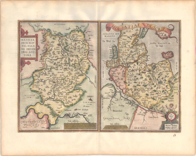
Subject: Northern & Central Germany

Period: 1598 (published)

Publication: Theatrum Orbis Terrarum

Color: Hand Color

Size:
19.5 x 13.3 inches
49.5 x 33.8 cm
Download High Resolution Image
(or just click on image to launch the Zoom viewer)

Pair of maps are engraved on a single folio sheet. At left is the Hassia region extending from the Werra River through to the Rhine River including Frankfurt am Main. It was compiled by Johannes Dryander. The Holsatiae map shows many fortified cities including Hamburg, Lauenburg, Lubeck, Schleswig, Tinder and Flensburg. This map was based on the work of Marcus Jordanus. French text on verso.

References: Van den Broecke #92.

Condition: A

A sharp impression on paper with the common horn coat of arms watermark found on Ortelius maps. There is light toning along the edges of the sheet and an old manuscript page number below the map at right.

Estimate: $240 - $300

Sold for: $180

Closed on 2/14/2018

Archived