Catalog Archive
Auction 166, Lot 442

"Royaume de Pologne", Robert de Vaugondy, Didier

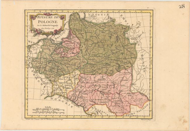
Subject: Baltic, Poland

Period: 1762 (dated)

Publication: Nouvel Atlas Portatif

Color: Hand Color

Size:
11.1 x 9.5 inches
28.2 x 24.1 cm
Download High Resolution Image
(or just click on image to launch the Zoom viewer)

Simple, but detailed, map of Poland and the Baltic States. The map shows rivers, mountains, and key cities, with a focus on political boundaries. The map was engraved by E. Dussy and the cartouche by Arrivet. This is the first state.

References: Pedley #294.

Condition: A

A crisp impression with original color in the map and later color in the cartouche on paper with a Strasbourg Lily watermark. There are two worm holes confined to the far blank margins.

Estimate: $140 - $170

Sold for: $100

Closed on 2/14/2018

Archived