Catalog Archive
Auction 166, Lot 372

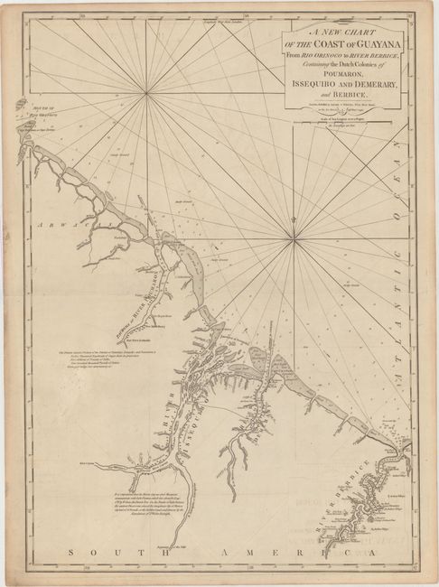
"A New Chart of the Coast of Guayana from Rio Orinoco to River Berbice, Containing the Dutch Colonies of Poumaron, Issequibo and Demerary, and Berbice", Laurie & Whittle

Subject: Guyana

Period: 1795 (dated)

Publication: West India Atlas

Color: Black & White

Size:
19.4 x 27.2 inches
49.3 x 69.1 cm
Download High Resolution Image
(or just click on image to launch the Zoom viewer)

This detailed chart shows the coastline from the mouth of the Orinoco River to the Berbice River. There is excellent detail of soundings, shoals, rocks, and other navigational hazards. A note near the Pomeroon River lists the annual produce of the region, including twelve thousand hogsheads of sugar and rum, five million pounds of coffee, and nine hundred thousand pounds of cotton. Another note near the Essequibo River discusses the mythical Lake Parima and golden city of Manoa.

References:

Condition: B+

Light offsetting on a sheet with a large fleur-de-lis coat of arms, minor soiling, and a short centerfold separation at right that has been closed on verso with archival material. There is light toning along the edges of the sheet.

Estimate: $275 - $350

Sold for: $150

Closed on 2/14/2018

Archived