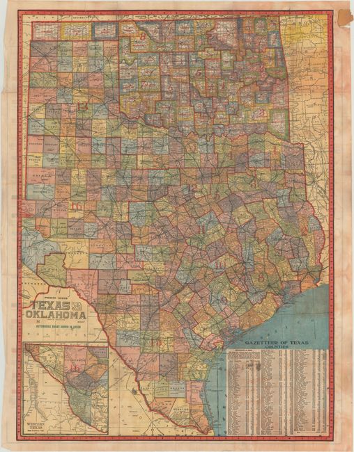
Subject: Texas, Oklahoma
Period: 1919 (dated)
Publication:
Color: Printed Color
Size:
26.3 x 31 inches
66.8 x 78.7 cm
This large and very colorful oil field pocket map covers the entire state to include all of the panhandle, with the western portion in a large inset. It was published by the Geographical Publishing Company and names all oil fields, the course of early oil pipelines, counties and watershed. Bold color and line identifies seventeen different geological strata. The map represents a remarkable and scarce record of the state of the oil industry just after the close of WWI.
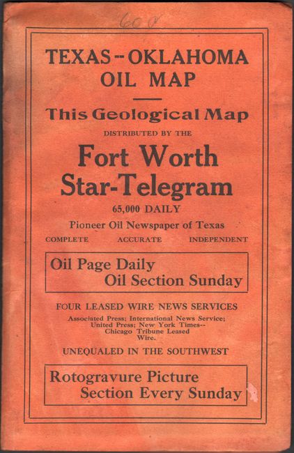
On the verso is Premier Series Texas And Oklahoma and uses green overprinting to show early "Automobile Roads" in the state. There is remarkable detail throughout including towns, trails, counties, watershed, railroads, and Congressional districts which are delineated by bold red overprinted lines. Folds loose into paper wrappers.
References:
Condition: B
There is moderate color offsetting from the map on verso with a number of small fold separations, several of which have been archivally repaired on verso. There is a small edge tear confined to the top left blank margin from where the map was glued to the wrappers. Paper wrappers are lightly soiled.