Subject: New York
Period: 1917 (dated)
Publication:
Color: Printed Color
Size:
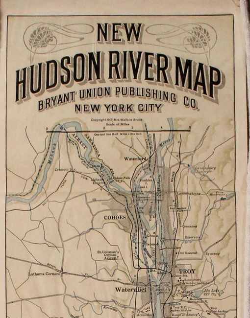
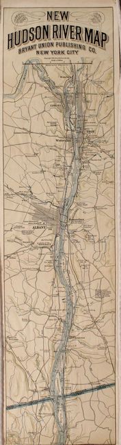
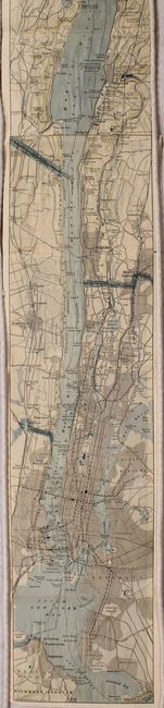
5.4 x 107 inches
13.7 x 271.8 cm
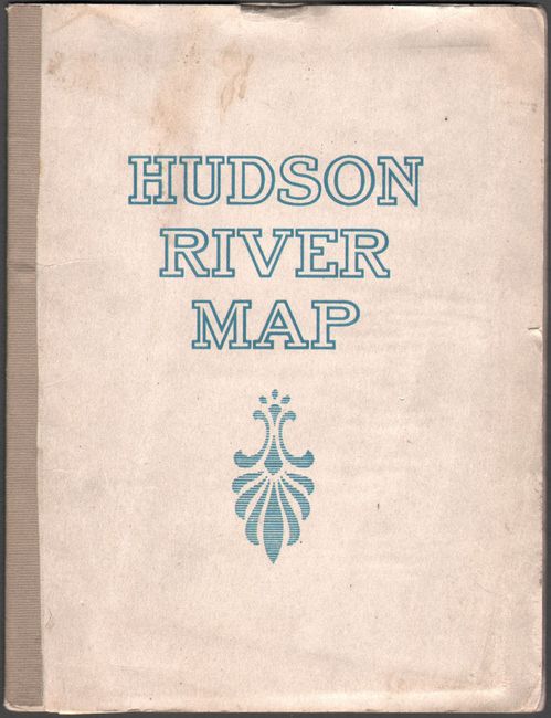
This is a later edition of this remarkable map in strip-chart format that is over 100 inches long! Includes amazing detail that is drawn on a scale of 1.5 miles per inch. Complied from U.S. Coast Survey data, this extraordinary map shows prominent residents, historical landmarks, landings, islands, and more. The verso is filled with related text and illustrations. Folds into paper wrappers entitled "Hudson River Map."
References:
Condition: B+
The folding map is clean and bright with several small abrasions resulting in some minor loss of image. Paper wrappers have minor soiling.