Catalog Archive
Auction 166, Lot 171

"Asher & Adams' Dakota", Asher & Adams

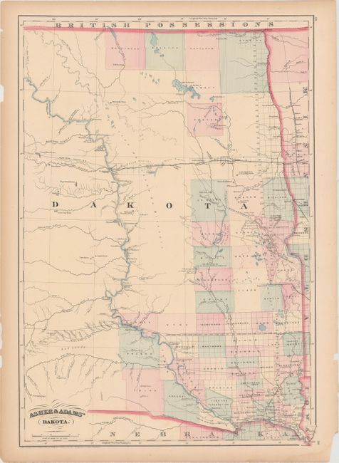
Subject: Dakota Territory

Period: 1875 (dated)

Publication:

Color: Hand Color

Size:
16 x 23 inches
40.6 x 58.4 cm
Download High Resolution Image
(or just click on image to launch the Zoom viewer)

Handsome map of the territory with early county configurations confined to the eastern region. In the southwest the region is labeled Bad Lands. The Northern Pacific Railroad extends to Ft. Abraham Lincoln. Numerous Indian villages are located in the western part of the territory.

References:

Condition: B+

Light toning along the sheet edges and a few minor edge chips.

Estimate: $100 - $130

Unsold

Closed on 2/14/2018

Archived