Subject: References
Period: 2001 (published)
Publication:
Color: Black & White
Size:
12.3 x 11.8 inches
31.2 x 30 cm
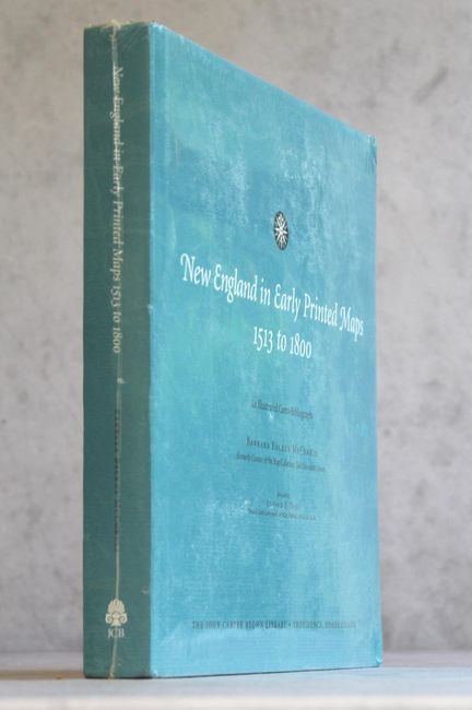
McCorkle's vital undertaking is the first complete and in-depth reference to cover maps of New England printed prior to 1800. It includes over 800 entries with 455 black and white illustrations, starting with Waldseemuller's Tabula Terre Nove, the first separate map of the New World included in an edition of Ptolemy's geography, and ending with a map of the early United States published by J. Stockdale at the turn of the century. A chronological list of individual state maps appears after the main listing. 354 pp. Hardbound in black cloth with a compass rose embossed in the front cover and the title in silver on the spine and an illustrated dust jacket. An indispensable reference for collectors of New England maps.
References:
Condition: A+
Still in publisher's shrink-wrap.