Catalog Archive
Auction 164, Lot 457
"Het Ryk van Carel den Groten", Wetstein, R & G.
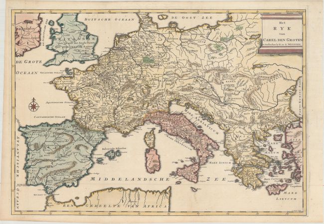
Subject: Europe
Period: 1730 (circa)
Publication:
Color: Hand Color
Size:
20.2 x 14.2 inches
51.3 x 36.1 cm
Download High Resolution Image
(or just click on image to launch the Zoom viewer)
(or just click on image to launch the Zoom viewer)