Catalog Archive
Auction 164, Lot 446

"Carte des Isles Bermudes ou de Sommer Tire de l'Anglois", Bellin, Jacques Nicolas
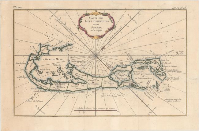
Subject: Bermuda

Period: 1768 (circa)

Publication: Description Geographique des Debouquemens qui sont au Nord de l'Isle de Saint Domingue...

Color: Hand Color

Size:
13 x 8.1 inches
33 x 20.6 cm
Download High Resolution Image
(or just click on image to launch the Zoom viewer)

This attractive copper engraving of Bermuda is divided into parishes, here called Cantons. The map shows the best routes for entering the bays around the islands as well as forts, churches, towns, and navigational hazards. Rhumb lines radiate from the center of the map, with north oriented to the upper right. Decorated by a rococo-style cartouche and fleur-de-lis.

References: Palmer (MCC-19) #38.

Condition: B+

Issued folding on watermarked paper with minor offsetting, a couple small spots, a tear that enters 1.25" into neatline at right that has been closed with archival materials on verso, and some small infilled worm tracks, all but one of which lies in the blank margins.

Estimate: $400 - $500

Sold for: $300

Closed on 9/13/2017

Archived