Catalog Archive
Auction 164, Lot 442

"De Cust van Barbaria Streckende van C.S. Vincent tot C. Verde", Doncker, Henrick

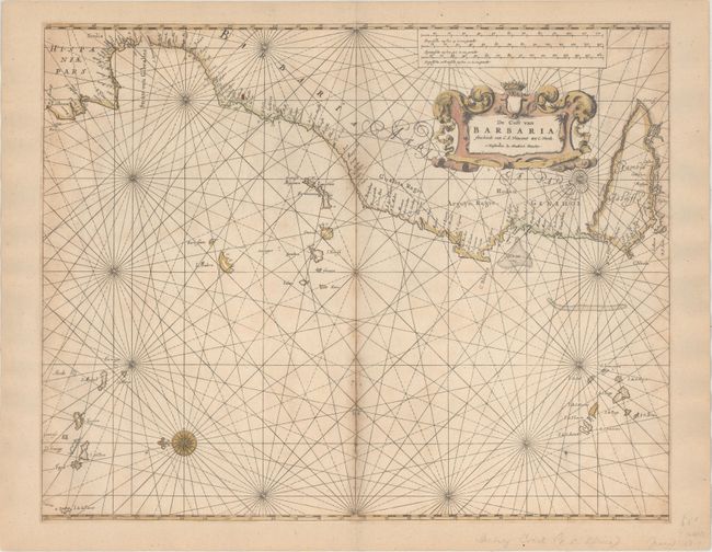
Subject: Eastern Atlantic Ocean

Period: 1659 (circa)

Publication: De Zee-Atlas ofte Water-Waerelt

Color: Hand Color

Size:
21.2 x 16.9 inches
53.8 x 42.9 cm
Download High Resolution Image
(or just click on image to launch the Zoom viewer)

This finely engraved sea chart covers from Lisbon, Portugal to Cape Verde, Africa. It also features the important Atlantic islands including the Azores, Cape Verde, Canary, and Madeira Islands. A compass rose orients the map with north to the left. Adorned by a decorative title cartouche and three distance scales.

References:

Condition: B+

Trimmed to the neatline all around and entirely backed with old paper. There are a few small centerfold separations and light scattered foxing mostly along the centerfold.

Estimate: $475 - $600

Unsold

Closed on 9/13/2017

Archived