Subject: Cartographic Miscellany, Puzzle
Period: 1867 (dated)
Publication:
Color: Hand Color
Size:
12.3 x 9.4 inches
31.2 x 23.9 cm
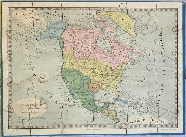
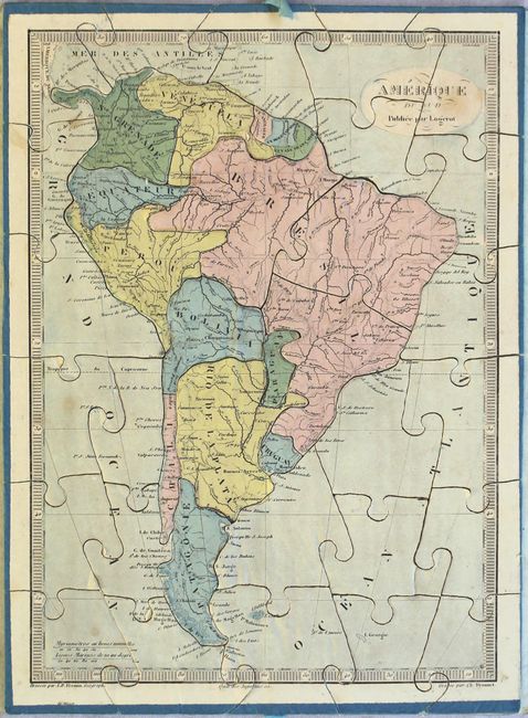
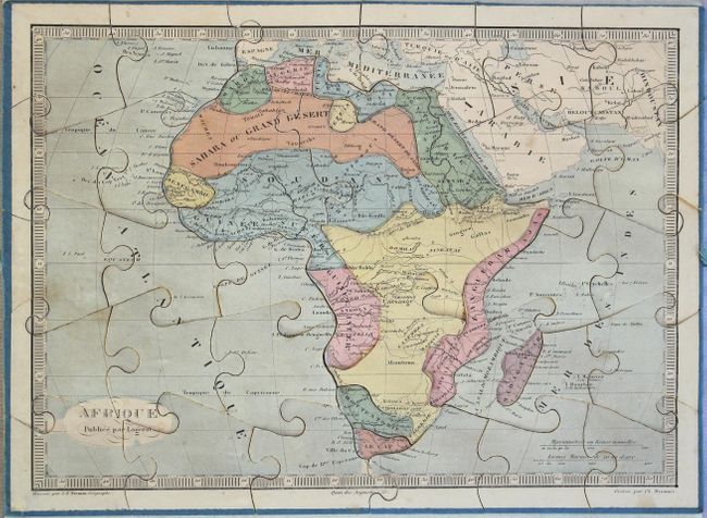
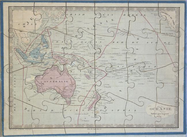
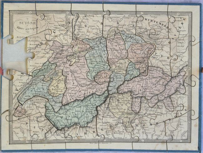
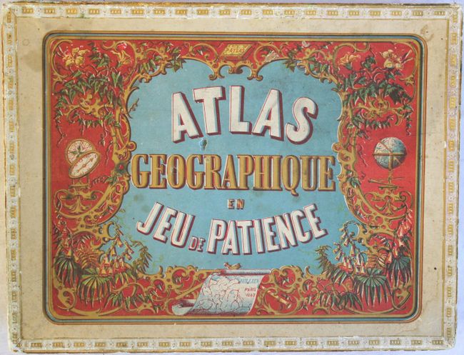
This fascinating puzzle set contains five maps - North America, South America, Africa, Oceania, and Switzerland. The maps measure 11.2 x 8.3” when assembled and are separated by pressed paper dividers, with nearly all of the original blue and red ribbon pulls intact, meant to facilitate removing the puzzles from the box. Each puzzle piece is mounted on thin balsa wood with original blue paper on verso and wrapped along the edges. The maps neatly fit into the original paper board box which features a decorative printed color cover.
A. Amerique du Nord. This map features the Independent Republic of Texas with only the settlements of S. Antonio, Galveston, and San Felipe de Austin. In the Pacific Northwest, Oregon Territory extends well into Canada, an early indication of the Fifty-Four Forty or Fight dispute. Alaska is Amerique Russe and Mexico extends to the Southwest and California. Drawn by A. R. Fremin and engraved by Charles Dyonnet.
B. Amerique du Sud.
C. Afrique.
D. Oceanie.
E. Suisse.
References:
Condition: B+
The puzzles are generally clean and bright, with very minor soiling and the paper lifting from the wood on some pieces. Two puzzle pieces have a corner broken off (Venezuela and a piece in the Pacific Ocean on the North America map) and there are small chips in a couple of pieces. The map of Switzerland has a piece missing along the left border. The box is also in very good condition, still sturdy and intact, with two small punctures in the top cover and several small chips and abrasions to the paper wrapping. Overall excellent condition for a game that was meant for children.