Catalog Archive
Auction 164, Lot 417

"Charte von dem Hollaendischen und Franzoesischen Guiana nach Einer Handschriftlichen Charte von dem Capt. Simon Mentelle und nach der Charte von Buache, Gezeichnet von I.B. Poirson", Weimar Geographisches Institut

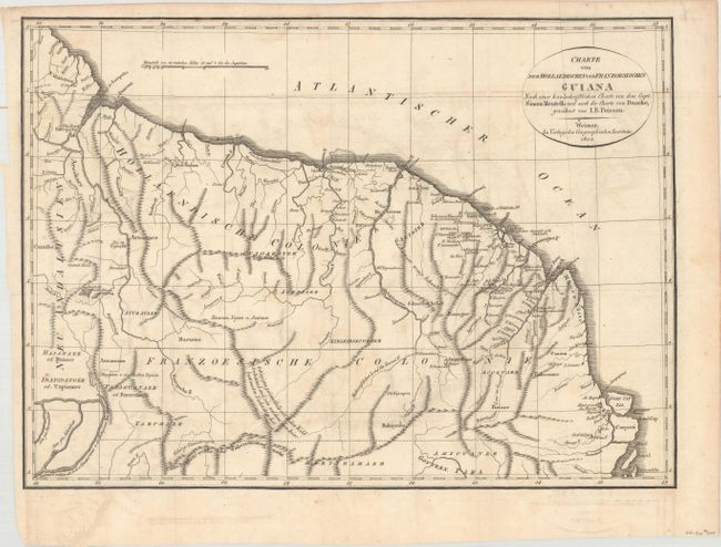
Subject: Guyana, Suriname, French Guiana

Period: 1804 (dated)

Publication:

Color: Black & White

Size:
16.5 x 12 inches
41.9 x 30.5 cm
Download High Resolution Image
(or just click on image to launch the Zoom viewer)

This detailed map of northeastern South America extends from the Essequibo River to just above the mouth of the Amazon River. There is good detail of the rivers and mountain ranges in the region, as well as numerous notations in the interior. Lake Parime is no longer shown on the map as its existence was disproved by Humboldt in 1804. Drawn by J.B. Poirson and published by Weimar Geographisches Institut.

References:

Condition: B+

Issued folding on watermarked paper with light offsetting.

Estimate: $120 - $150

Sold for: $90

Closed on 9/13/2017

Archived