Catalog Archive
Auction 164, Lot 407

"South America with Its Political Divisions Compiled from State Papers and Observations Astronomical, Nautical, and Historical ", Wilkinson, Robert

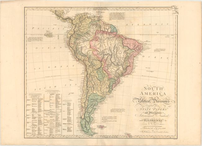
Subject: South America

Period: 1806 (dated)

Publication:

Color: Hand Color

Size:
24.1 x 20.8 inches
61.2 x 52.8 cm
Download High Resolution Image
(or just click on image to launch the Zoom viewer)

This large map of the continent is divided politically by the various European possessions. Spanish regions are indicated in yellow, Portuguese in pink, French in blue, Dutch in orange, the British also in pink (islands only), and Native Indian lands in green. A large table at bottom left identifies the specific regions and boundaries of each foreign power. There are several notations surrounding the continent with geographical information and notes on explorers. Created by E. Baker and engraved by E. Bourne.

References:

Condition: B+

Full original color on paper watermarked "1802" with minor offsetting, some creasing along the centerfold at top, and light soiling.

Estimate: $350 - $425

Unsold

Closed on 9/13/2017

Archived