Subject: Northern Virginia, Civil War
Period: 1880 (published)
Publication:
Color: Printed Color
Size:
17.5 x 20.4 inches
44.5 x 51.8 cm
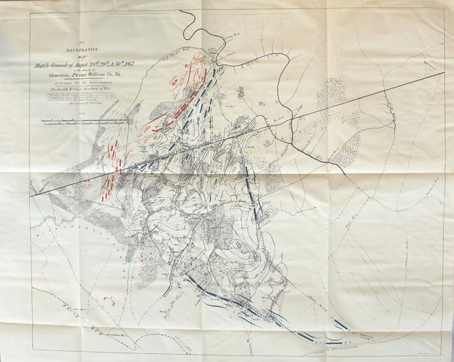
Surveyed by General Warren, this map shows the probable positions of Confederate troops during the battle of Second Manassas or 2nd Bull Run. This map was produced for a special commission to review the acts of Union General Porter. In 1862, Porter was accused of insubordination for failing to comply with an order from his superior, Major General Pope, to advance to a position that was being occupied by General Longstreet's Confederate forces. Pope, however, was unaware that his orders would put his own men directly in front of a major Confederate position. On Pope's second order, Porter reluctantly complied despite his troops being outnumbered 30,000 to 5,000. Union forces easily won the battle, and Pope was infuriated by the defeat and relieved Porter of his duties. Porter was later court martialed for his insubordination and found guilty. Porter finally gained back his reputation when he was exonerated in 1878 by this special commission.
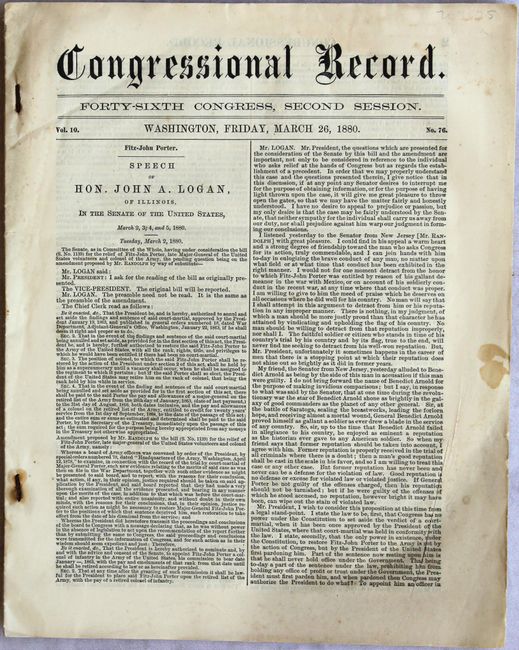
This example was published in the March 26, 1880 issue of the Congressional Record, with all of its 46 pages dedicated to these deliberations.
References: Stephenson #572.8.
Condition: B+
The map is issued on thick paper with minor creasing and faint color offsetting at bottom. Report text is very good with light toning and several small edge tears and chips.