Catalog Archive
Auction 164, Lot 327

"Texas and Indian Territory", Black, Adam & Charles

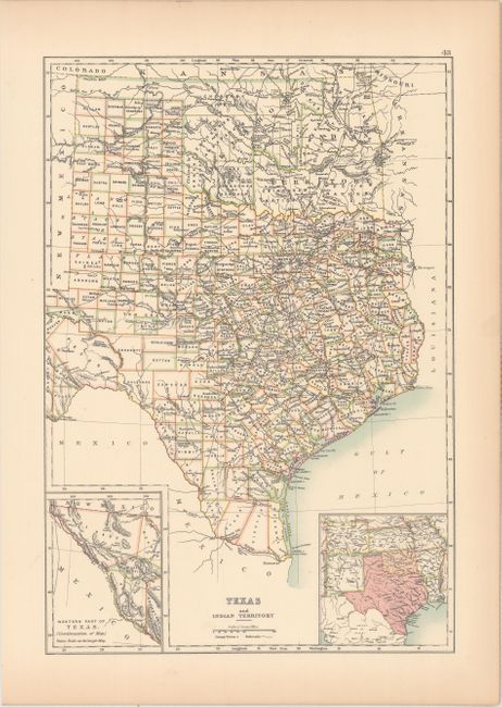
Subject: Texas & Oklahoma

Period: 1896 (published)

Publication: Black's General Atlas

Color: Printed Color

Size:
10.4 x 15.1 inches
26.4 x 38.4 cm
Download High Resolution Image
(or just click on image to launch the Zoom viewer)

This county map of Texas and Oklahoma shows excellent development of railroads throughout the two states. Oklahoma is divided into a number of different Indian nations, including Cherokee, Arapaho, Cheyenne, Creek, Chickasaw, Choctaw, Kiowa, and Comanche. The western portion of Texas is shown to scale in an inset at bottom left, while another inset shows the states adjacent to Texas and Oklahoma.

References:

Condition: A

Light toning along the edges of the sheet.

Estimate: $110 - $140

Sold for: $80

Closed on 9/13/2017

Archived