Catalog Archive
Auction 164, Lot 301

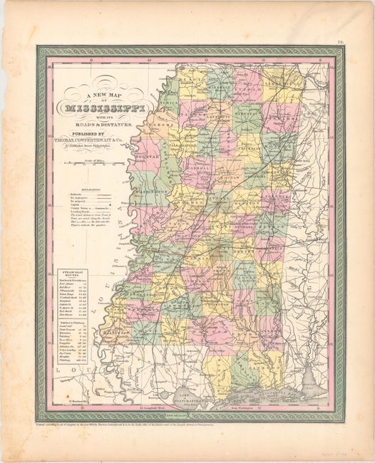
"A New Map of Mississippi with Its Roads & Distances", Thomas, Cowperthwait & Co.
Subject: Mississippi

Period: 1850 (dated)

Publication: A New Universal Atlas...

Color: Hand Color

Size:
11.6 x 14.1 inches
29.5 x 35.8 cm
Download High Resolution Image
(or just click on image to launch the Zoom viewer)

An attractive 19th century map of pre-Civil War Mississippi with good detail of the numerous towns and villages, roads, and rivers. Proposed and "in progress" railroads are shown, along with two existing railroads identified in red. Some distances are noted between cities along main roads. A table at left gives the steamboat routes between Natchez and New Orleans, and Natchez to Pittsburg. The map is surrounded by a decorative, scroll border.

References:

Condition: B+

Original color with scattered foxing.

Estimate: $90 - $120

Sold for: $50

Closed on 9/13/2017

Archived