Subject: World & Continents
Period: 1804 (circa)
Publication: Oskolai Magyar Uj Atlas
Color: Hand Color
Size:
16.8 x 12.1 inches
42.7 x 30.7 cm
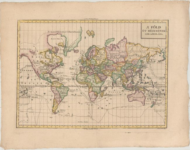
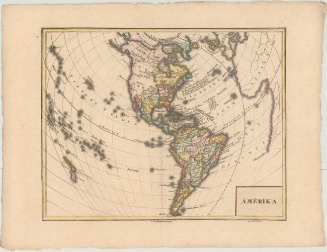
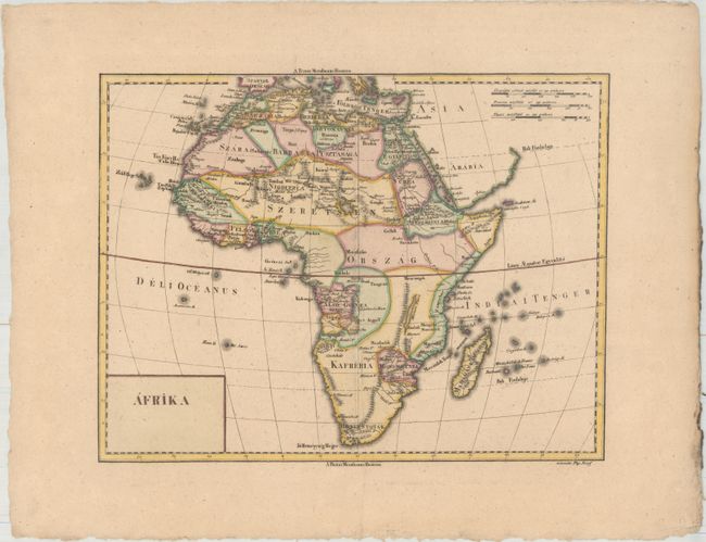
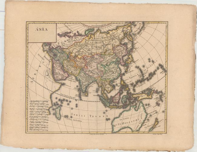
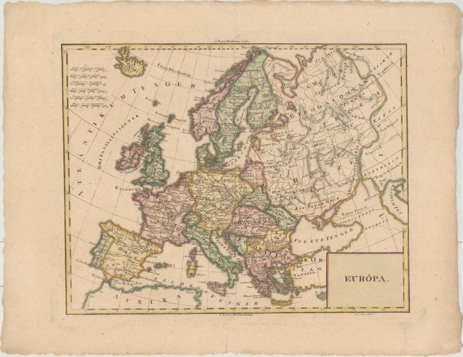
This rare set of Hungarian maps was prepared by Ezsaias Budai, a geography teacher at the Calvinist College in Debrecen, and was published in Oskolai Magyar Uj Atlas (Hungarian New School Atlas). The maps appear to be based on French atlas maps of the period, and were prepared by three students at the college. The maps show the new discoveries of Captain Cook's three voyages, with updates to Australia, New Zealand, many islands in the Pacific, and the northwest coast of North America, including Alaska. The world map traces the routes of Cook's voyages, in addition to the route of Louis Antoine de Bougainville's circumnavigation. The map of the Western Hemisphere shows the new United States prior to the Louisiana Purchase, with all states and territories extending to the Mississippi River. Santa Fe is located but the entire Rocky Mountain region and Pacific coast is devoid of detail. A charming and rarely offered set of maps.
A. A Fold ot Reszeinek Lerajzolasa (16.8 x 12.1"). Engraved by Gabor Eros.
B. Amerika (16.2 x 12.8"). Engraved by David Pethes.
C. Afrika (15.4 x 11.9"). Engraved by Josef Pap.
D. Asia (15.7 x 12.5"). Engraved by Josef Pap.
E. Europa (15.9 x 12.6"). Engraved by David Pethes.
References:
Condition: A
Sharp impressions with very minor toning and wide margins with deckled edges.