Subject: Louisiana
Period: 1825 (published)
Publication: Atlas Geographique, Statistique, Historique ... des Deux Ameriques
Color: Hand Color
Size:
12.8 x 11.3 inches
32.5 x 28.7 cm
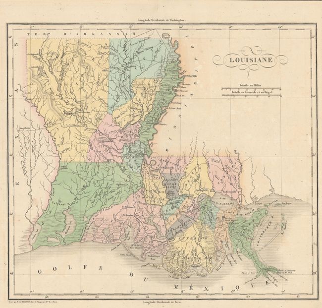
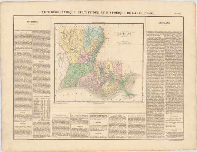
Lovely map from the French edition of Carey and Lea's American Atlas. The state is shown with 26 parishes with those west of Atchafalaya River notably large. The state is remarkably unsettled with less than two dozen towns shown. In the northeast corner is Washitta Parish with the land claims of Baron Bastrop and Mon. Rouge. On a full folio sheet (27.5 x 21.5") with French text on three sides describing the history, government and population. The population table lists numbers of whites, slaves and liberated slaves. Buchon issued his maps on finer paper and they are usually found in much finer condition than his American counterparts.
References: Phillips (Atlases) #1176-35.
Condition: A
Lovely original color with a few light spots. There is archival reinforcement of the top and bottom centerfold on verso.