Subject: Hawaii
Period: 1901 (published)
Publication: Sen. Doc. 231, 56th Cong., 2nd Sess.
Color: Printed Color
Size:
6 x 9.1 inches
15.2 x 23.1 cm
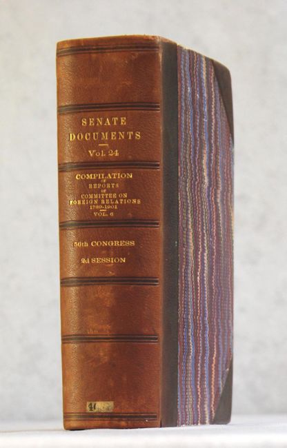
This book discuses the relations between the United States and Hawaii, with nine folding maps including plans of Honolulu. While the document contains several reports on Foreign Relations, the main report (pp. 363-1169) pulls together notable documents on the history of the Hawaiian Islands, their physical features and the events that took place during the political revolution of 1893 in Hawaii that led, eventually, to annexation of the Hawaiian Islands. It should be useful to any student of the history of the islands. 1176 pages, hardbound in quarter calf with tips over marbled boards with gilt title on spine.
Maps include:
1) [Untitled Map of the Hawaiian Islands] (10 x 10").
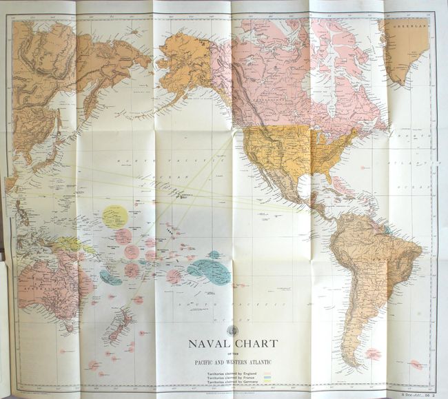
2) Naval Chart of the Pacific and Western Atlantic (25 x 22"). Notes colonial ownership for England, France & Germany.
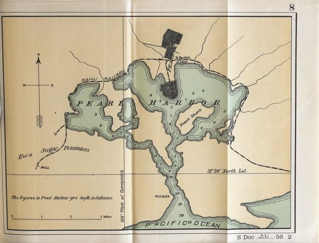
3) [Untitled Plan of Pearl Harbor] (9.8 x 7.3").
4) Map of Honolulu (14.2 x 11.5"). Great plan with named streets and many buildings located.
5) General Map of the Island of Maui (11.3 x 9"). Includes a table giving distances around the island between numerous places and important buildings.
6) Oahu Hawaiian Islands (12.5 x 9.5").
7) Map of Hawaii (8 x 9").
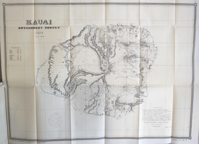
8) Kauai Government Survey 1878 (25 x 18").
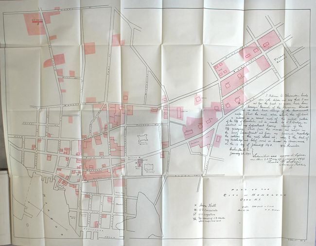
9) Part of the City of Honolulu Oahu H.I. (34.3 x 24.5").
References:
Condition: A
The maps are clean, crisp, and appear to have only been open a few times. Text is clean and tight. Binding is very good with light shelf wear.