Subject: Colorado
Period: 1867 (published)
Publication:
Color: Hand Color
Size:
21 x 16 inches
53.3 x 40.6 cm
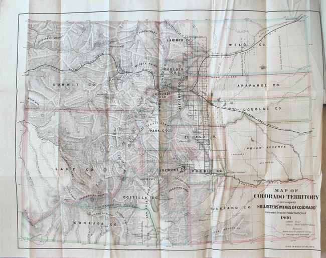
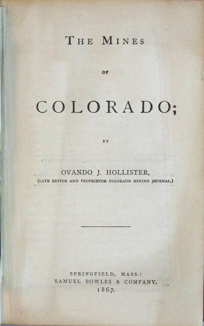
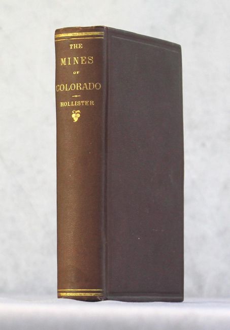
This is the greatly enlarged edition of the author's previous title The Silver Mines of Colorado and the first to include the map. The map lists sixteen counties and a large Indian Reserve, which is divided into Cheyenne and Arapahoe tribes. It shows the location of coal as well as gold and silver mines, and identifies the "Developed Gold & Silver Region" to the west of Denver and Colorado Springs. There is also good detail of the topography, river systems, and the extent of surveying. The map is still bound into the front of this important book that describes the geography, geology, climate and agriculture along with extensive information on over 165 mining enterprises. 450 pages. Octavo, hardbound in original maroon cloth with gilt title on spine.
An essential reference work about Colorado mining published less than a decade after the first discovery of gold in 1858.
References: Howes #H602.
Condition: B+
A tear in the map at the top right corner has been skillfully reattached with archival tissue on verso. There are a few other insignificant fold separations and the right margin has been trimmed to just inside the neatline by the binder. Text is clean and tight. Covers have light wear with bumped edges.