Catalog Archive
Auction 164, Lot 227

"Map of the State of Alabama", Greenleaf, Jeremiah
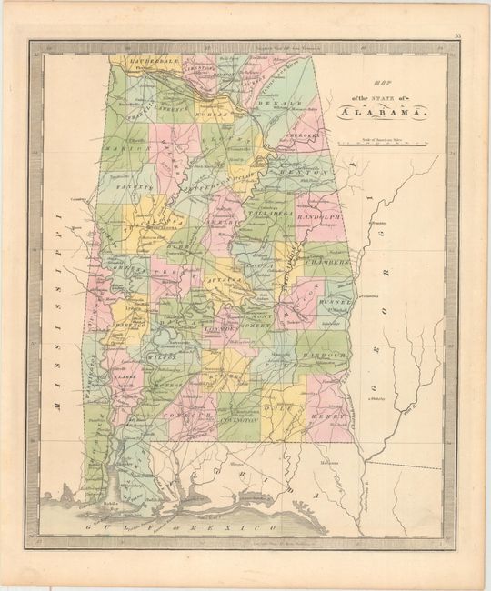
Subject: Alabama

Period: 1842 (circa)

Publication: A New Universal Atlas...

Color: Hand Color

Size:
10.8 x 12.6 inches
27.4 x 32 cm
Download High Resolution Image
(or just click on image to launch the Zoom viewer)

This handsome map with a keyboard-style border is Greenleaf's atlas map of the state with early county configurations that details the roads, towns and villages, ports, watershed and more. Jeremiah Greenleaf took over the production of David Burr's New Universal Atlas when Burr was appointed Geographer of the House of Representatives. This updated edition shows full county organization with the replacement of Choctaws and Chickasaw lands along the eastern and western state boundaries.

References:

Condition: A

Original color on a clean sheet.

Estimate: $200 - $250

Sold for: $100

Closed on 9/13/2017

Archived