Catalog Archive
Auction 164, Lot 22

"A New & Accurate Chart of the World. Drawn from the Authentic Surveys, Assisted by the Most Approved Modern Maps & Charts & Regulated by Astronl. Observations...", Bowen, Emanuel
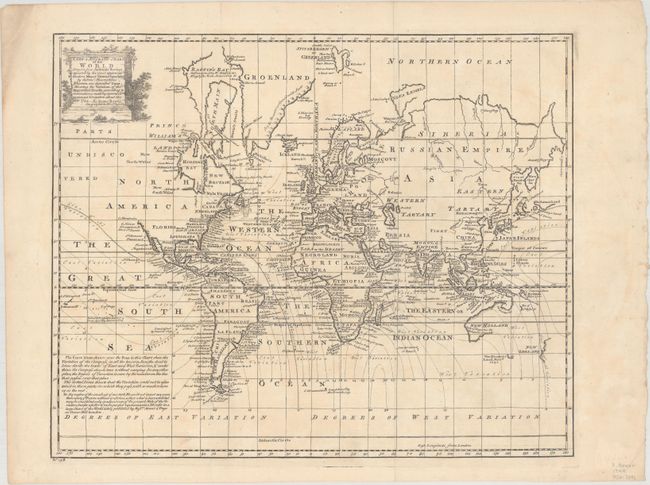
Subject: World

Period: 1744 (dated)

Publication: A Complete System of Geography

Color: Black & White

Size:
17.6 x 14.3 inches
44.7 x 36.3 cm
Download High Resolution Image
(or just click on image to launch the Zoom viewer)

This unusual thematic chart of the world shows the magnetic variations throughout the world. Edmond Halley set out in 1700 to chart magnetic variation in order to solve one of the great problems in nautical navigation, the accurate determination of longitude. His initial work was expanded on by several British navigators in the 1740's, as represented by this map. Geographically the map shows a truncated northwestern coastline in North America and partially formed Australia and New Zealand. The map does not show interior features, instead concentrating only on coastal place names with dates of important discoveries in the oceans.

References: McCorkle (18th C. Geography Books) #17-1.

Condition: B+

A dark impression on a clean sheet with faint uneven toning. Issued folding.

Estimate: $475 - $600

Sold for: $350

Closed on 9/13/2017

Archived