Subject: South Central United States, Indian Territory
Period: 1844 (published)
Publication:
Color: Printed Color
Size:
15.5 x 12.7 inches
39.4 x 32.3 cm
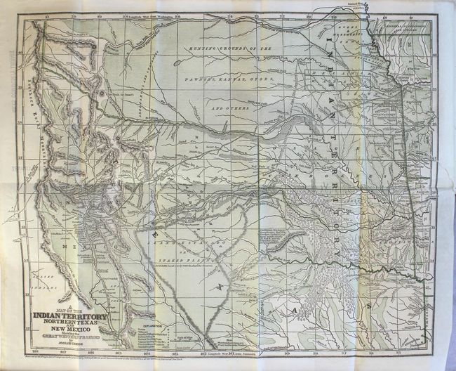
Wheat devotes over an entire page of text to this map and describes it as a "cartographic landmark" of the western territories and covers the area from Missouri, Kansas and Louisiana to the Rocky Mountains. It is the first edition, published just before the more common Morse and Breese atlas map, also dated 1844, but published in 1845. The map shows the northern part of the Republic of Texas reaching along the Rockies and has quite a bit of Indian Territory as well. New Mexico is shown, with Santa Fe as the destination of the route of the Santa Fe Caravans. The map has many tracks of explorers and other routes shown, with topography, towns, villages, smaller villages and ranches, Indian villages, forts, trading posts, ruins, springs, and camps. This would have been a very valuable map for anyone considering traveling across the prairie in the mid 19th century.
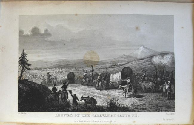
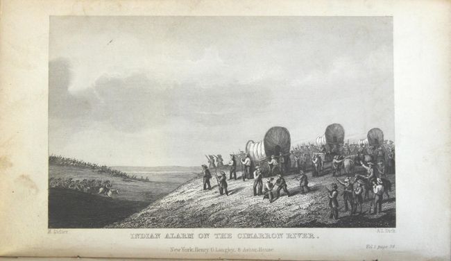
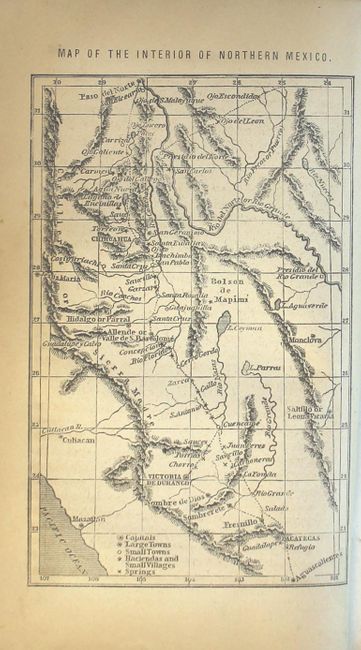
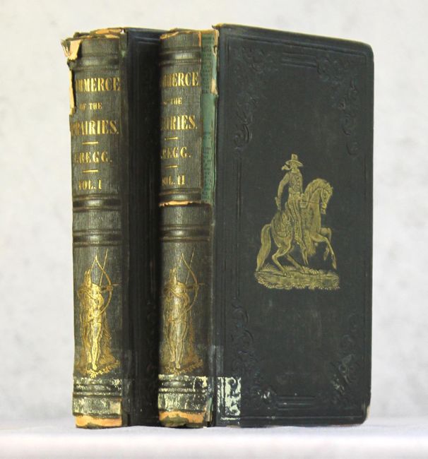
Volume I: [5], xi-xvi, 17-320 pages plus 3 lithographic plates and large folding map. Volume II: [3], iv-viii, 9-318 pages plus 3 lithographic plates and single page Map of the Interior of Northern Mexico. Hardbound in brown cloth with gilt illustration on front cover and gilt title on spine.
Josiah Gregg first went west in the 1830's to look for a cure for his tuberculosis. He recovered his health and traveled across the prairies as a merchant to Santa Fe, Texas and Mexico.
References: Wheat (TMW) #482; Wagner & Camp #108.1; Howes #G401.
Condition: B
The map has a 2.5" binding tear at right that has been closed on verso with archival tape, minor toning, and faint show-through of old library stamps on verso along the left border. Text is clean and bright, and plates have light toning and minor foxing. Old library stamps on free endpapers, back of map, and page edges. Hinges are starting and there is a large chip in the spine of Volume II. Covers have moderate wear with bumped edges.