Subject: Eastern United States, Civil War
Period: 1883 (circa)
Publication:
Color: Printed Color
Size:
14.2 x 18.1 inches
36.1 x 46 cm
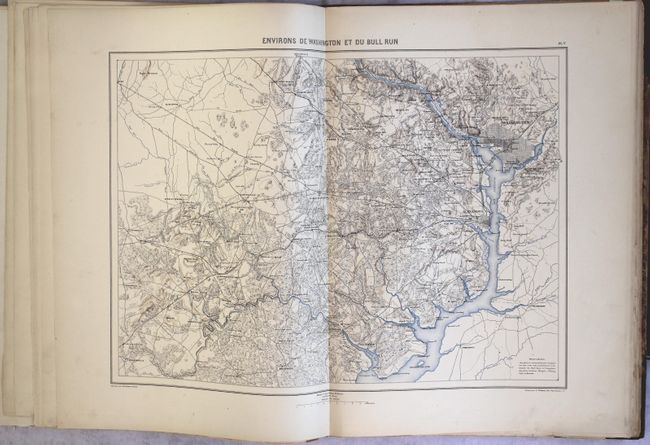
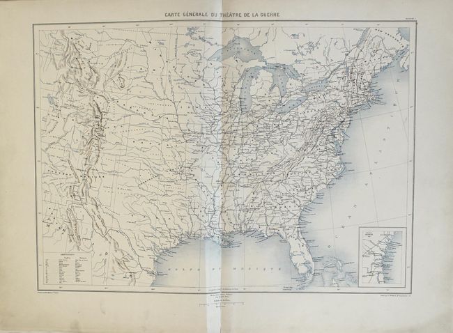
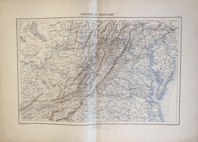
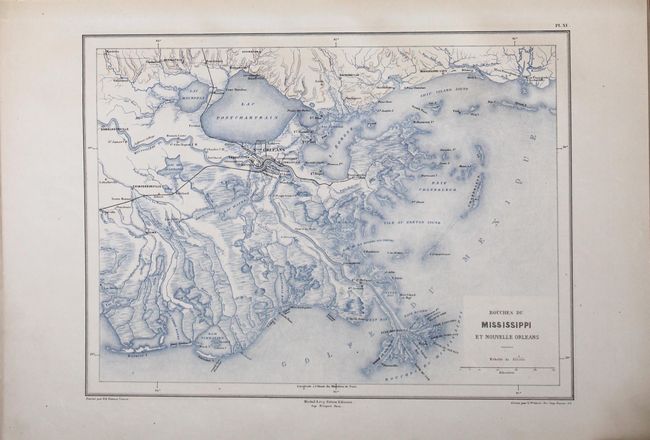
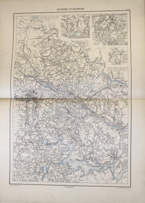
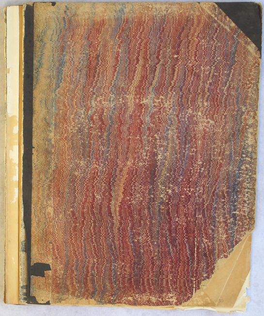
This collection of 19 maps (of 30 in a complete atlas) comes from the scarce French atlas to accompany Comte de Paris' Historie de la Guerre Civile en Amerique. These important, remarkably detailed maps should not be confused with the smaller maps issued with the American version of the History. Comte de Paris served the Union cause for a time under General McClellan which gave him access to the large, original U.S. Army maps. Of the 19 maps, 7 are double-page (approximately 14 x 20") including Environs de Washington et du Bull Run, Environs de Richmond, and Virginie et Maryland. Single-page maps of interest New Orleans, Charleston, and Yorktown. The maps were drawn by Dumas-Vorzet and engraved by Wuhrur. The complete atlas was printed in three phases in 1874, 1875, and 1883. This set represents the first two phases, but lacks the title pages. Folio, hardbound in quarter cloth and tips over marbled boards.
References:
Condition: B+
Condition code is for the maps which are very good with pleasant, uniform light toning. The map of the United States has a fold separation at bottom that extends 3.5" into the image along with an associated 4" tear that have both been closed on verso with archival tape. The map of Kentucky/Tennessee also has a small archivally repaired fold separation at bottom, and a few other maps have short edge tears and chips confined to the blank margins. The front cover is detached and both boards are heavily chipped and worn, with the bottom right corner of the front board missing. Bookplate of the U.S. Engineers Battalion is on the front pastedown.