Subject: United States
Period: 1855 (circa)
Publication:
Color: Black & White
Size:
4.4 x 6.9 inches
11.2 x 17.5 cm
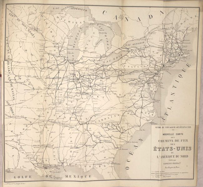
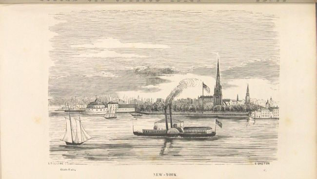
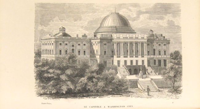
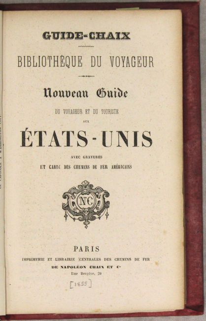
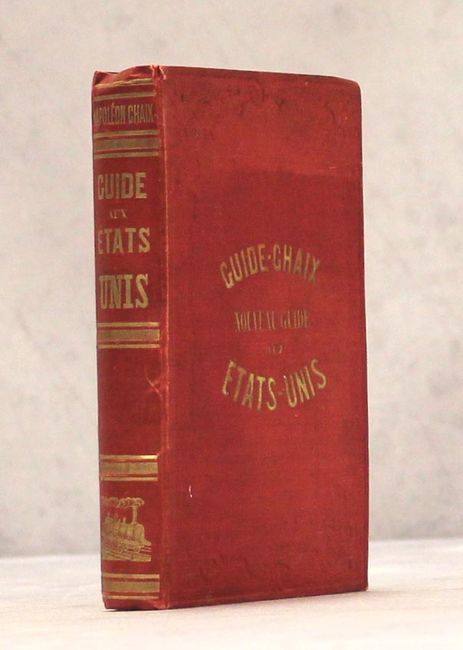
This tourist guide was created to encourage French travel and emigration to the United States. The US is described as a country full of vitality and liberty, with a government that protects its people. The guide includes a large folding map of the eastern United States and single-page engraved views of Washington, DC, New York, Boston, New Orleans, Baltimore, and Cincinnati. The map focuses on the railroad lines, showing those both existing and under construction. Roads, key cities, and state boundaries are also identified. Along the western edge of the map are the territories of Minnesota, Nebraska, Kansas and Indian Territory. The "Guide-Chaix" travel guide series was created by Napolean Chaix, a French printer who was best known for printing timetables of railroad lines. 357 pp., 40 pp. advertisements, 6 engraved views, and folding map. Hardbound in red cloth with embossing on covers and gilt stamped title on front cover and spine.
References:
Condition: B+
The map has a 1" binding tear at left and very light toning along the edges of the sheet and a couple of folds. The views are clean and bright with an occasional spot of foxing. The text has occasional scattered foxing. The front cover is nearly detached, and the covers and spine are lightly worn and stained.