Subject: Atlases
Period: 1837 (published)
Publication:
Color: Hand Color
Size:
12.9 x 18.4 inches
32.8 x 46.7 cm
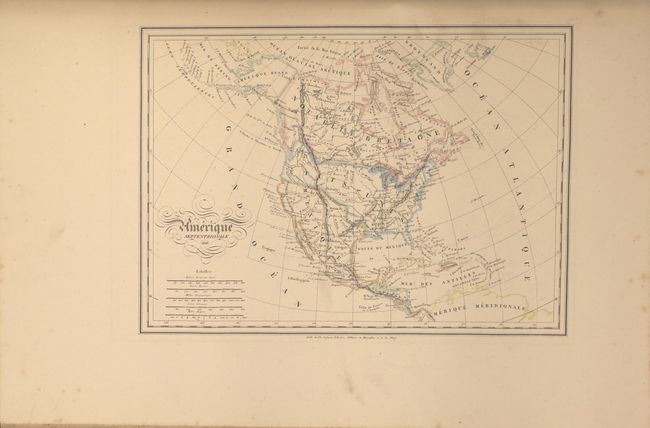
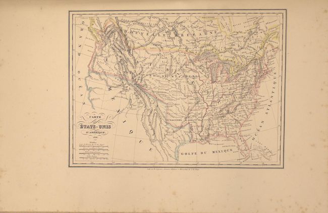
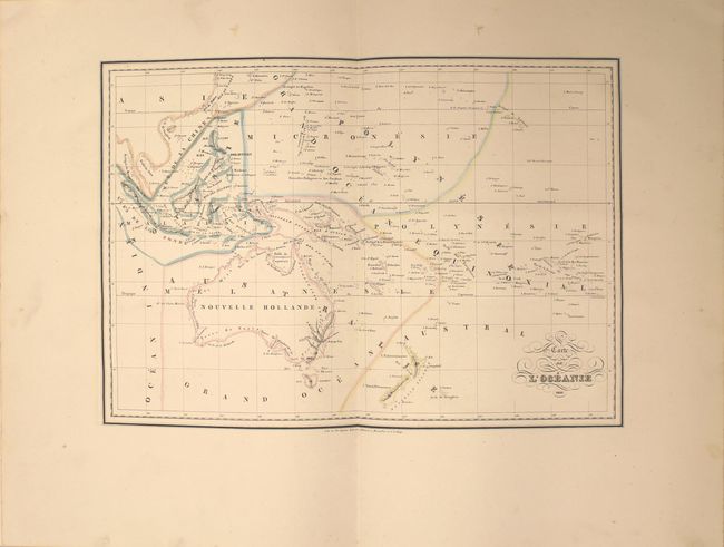
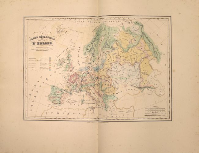
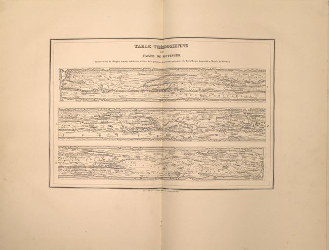
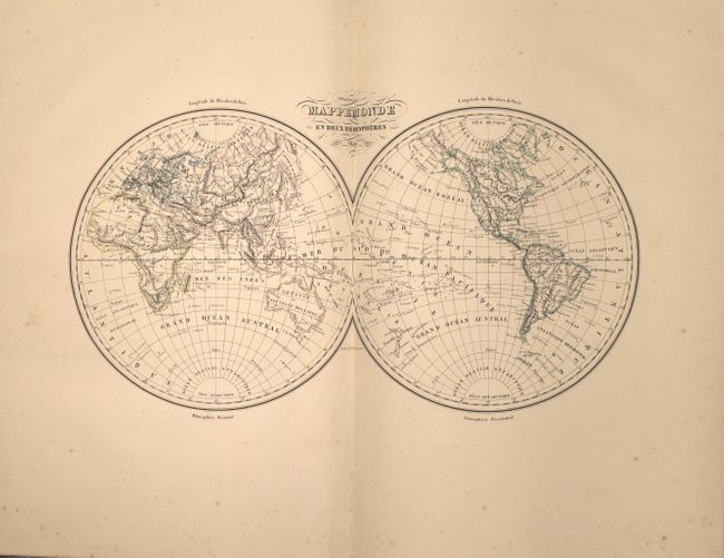
This complete atlas contains 60 single-page and 11 double-page maps of the world. The first 21 relate to the ancient world and the remaining 50 are modern. The modern maps consist of the following: World (2), Europe (27), Asia (5), Africa (3), North America (5), South America (5), and Oceania (3). Of particular interest is the map of North America (Amerique Septentrionale) which still depicts Texas as a part of Mexico despite its publication date. It also shows United States' claims in the Northwest extending well north into Canada, reflecting U.S. interests in the region (the French usually supported this position). The atlas also includes three geological maps of Europe, France, and England, as well as a double-page Peutinger table. Hardbound in quarter leather and tips over blue marbled boards.
References:
Condition: A
Condition code is for the maps which range from very good to fine. The maps in very good condition have occasional faint scattered foxing and a few have minor color offsetting. Contents are tight but the front hinge is starting. There is typical wear to the extremities with chips along the top and bottom edges of both covers.