Catalog Archive
Auction 163, Lot 411

"Mexico and West Indies", Smith, Charles

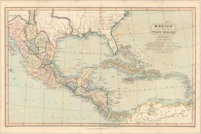
Subject: Gulf of Mexico, Caribbean & Southern United States, Texas

Period: 1842 (circa)

Publication:

Color: Hand Color

Size:
23 x 14.4 inches
58.4 x 36.6 cm
Download High Resolution Image
(or just click on image to launch the Zoom viewer)

This handsome map is color-coded to show the colonial possessions of the British, French, Spanish, Dutch, Danish and Swedish in the Caribbean. It extends north of the Gulf of Mexico to depict the majority of the Republic of Texas, and names Houston, Galveston, Austin, Bexar (San Antonio), and Laredo. Further south, the map delineates the Mexican states and extends to incorporate northern South America. Filled with details including coastal place names, roads, topography, and drainage. Published by Charles Smith at No. 172, Strand, London.

References:

Condition: B+

Light scattered foxing and offsetting.

Estimate: $275 - $350

Sold for: $140

Closed on 6/14/2017

Archived