Catalog Archive
Auction 163, Lot 402

"Territories and Texas", Boynton, George W.

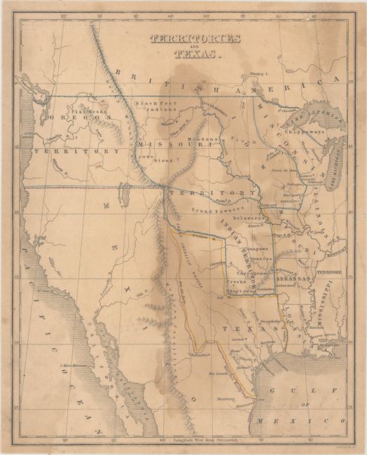
Subject: Western United States & Mexico, Texas

Period: 1842 (circa)

Publication: Atlas to Warren's System of Geography

Color: Hand Color

Size:
8.3 x 10.4 inches
21.1 x 26.4 cm
Download High Resolution Image
(or just click on image to launch the Zoom viewer)

This small map shows an Independent Republic of Texas in its large configuration. Austin is shown as the capital and Bexar (San Antonio), Houston and Galveston are named. Indian Territory occupies present-day Oklahoma, Kansas and Nebraska, while the region to the north of the Platte River and east of the Rockies is occupied by Missouri, Iowa and Wisconsin territories. The Great Basin and California are nearly blank. The map shows a few place names, the location of Indian tribes, rivers and topography.

References:

Condition: B

Light toning with a large dampstain in the middle of the map image.

Estimate: $100 - $130

Sold for: $75

Closed on 6/14/2017

Archived