Catalog Archive
Auction 163, Lot 385

"The United States of Mexico", Burr, David H.

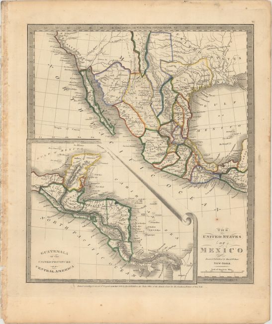
Subject: Southern United States & Mexico, Texas

Period: 1837 (dated)

Publication: A New Universal Atlas...

Color: Hand Color

Size:
10.6 x 12 inches
26.9 x 30.5 cm
Download High Resolution Image
(or just click on image to launch the Zoom viewer)

This map shows Mexico the year after Texas became independent, and was issued a few short years after the first edition published in 1835. The small Texas configuration is prominently shown, including the towns of San Antonio and San Felippe de Austin. Little Rock, here labeled Arkopolis, is identified as well as Sante Fe, Albuquerque and Taos. The map extends south from New California to the Yucatan with a large inset entitled Guatemala or the United Provinces of Central America.

References:

Condition: B+

Original outline color with two small worm holes in the image, one small spot of foxing above the title, and marginal soiling.

Estimate: $400 - $475

Sold for: $250

Closed on 6/14/2017

Archived