Subject: Virginia
Period: 1837 (dated)
Publication:
Color: Hand Color
Size:
14.9 x 12.4 inches
37.8 x 31.5 cm
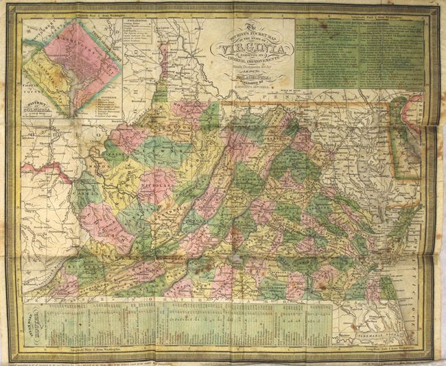
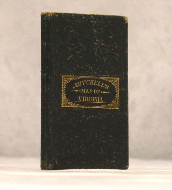
This pocket map of the state shows county development current to 1835 with Marshall being organized from Ohio County in the present-day panhandle of West Virginia. Shows good detail of topography, rivers, towns and settlements. Only four railroads are shown at this time: Winchester to Harper's Ferry, Fredericksburg to Richmond, Petersburg to North Carolina, and Portsmouth to North Carolina. Includes an inset of the District of Columbia and tables showing steam boat routes and stage routes through Virginia. Engraved by E. Yeager and F. Dankworth. Folds into green boards with gilt title on front cover.
References:
Condition: B
Issued folding with light scattered foxing and a number of fold separations that have been partially repaired on verso with archival tape. Two small areas of loss (Campbell County and Delaware) have been repaired on both recto and verso with archival tape.