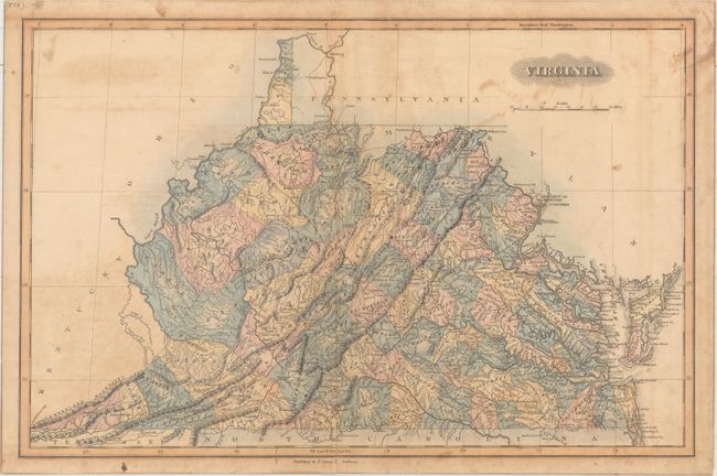
Subject: Virginia
Period: 1823 (circa)
Publication: A General Atlas Containing Distinct Maps of All the Known Countries in the World...
Color: Hand Color
Size:
19 x 12.4 inches
48.3 x 31.5 cm
This handsome map of the state details roads, towns and settlements, courthouses and the river systems. Development is primarily east of the Allegheny Mountains, but the entire state (which includes today's West Virginia) is divided by county. County configurations suggests the map is up to date to 1824 with the addition of Logan County in the western part of the state. Lucas' General Atlas is known as one of the finest general atlases produced in the U.S. at the time, due to the high quality paper, superior engraving quality, and attractive coloring style.
References: Phillips (Atlases) #742-61.
Condition: B
Scattered foxing, staining, and light offsetting. There are two 0.75" tears adjacent to the middle of the centerfold that have been closed on verso with archival tape.