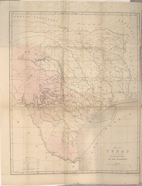
Subject: Texas
Period: 1858 (published)
Publication:
Color: Hand Color
Size:
14 x 17.1 inches
35.6 x 43.4 cm
This scarce map of Texas is based on Jacob de Cordova's 1849 depiction showing the state west to the Pecos River, here labeled R. Puerco, just north of the Rio Grande. Even though published in 1857, the map illustrates Texas after it became the 28th state in 1845, but before the Compromise of 1850, when the present boundaries were established. There were four empresario grant type colonies established during the Republic of Texas period, one being the Fisher and Miller Colony, shown here north of Fredricksburg. The other three that are no longer noted on this map were Peters' Colony, Castro's Colony and Mercer's Colony. These types of colonies were changed to be more in order with regular U.S. land grants. West Texas is noted as being the Solitudes habitees par les Comanches.
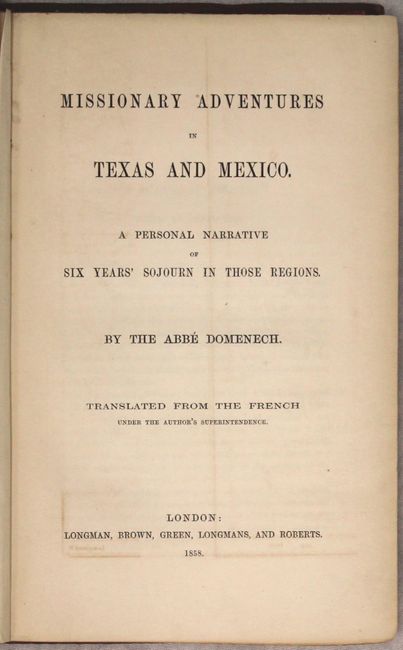
The map illustrates the travels of Abbe Emmanuel Domenech in Texas; first in 1846-50, and then again in 1851-2. Domenech was the first Catholic priest to be ordained in Texas and was charged with the establishment of the Catholic hierarchy in Texas, amid the tensions of the boundary disputes with Mexico. On his second journey he based himself in Brownsville and visited neighboring places in Texas and Mexico. The tracks of his missionary activities are shown in pink on the map. This English edition was engraved by Edward Weller in London and published in the only English edition of Domenech's account, which was first published in French in 1857.
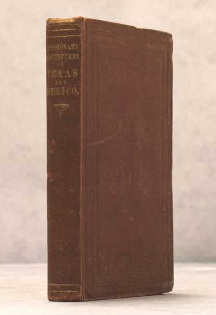
Octavo; xv; 366 pp.; 26 pp. advertisements; folding map. Hardbound in original publisher's red cloth with embossing on covers and gilt titling on spine.
References: Howes #D408; cf. Martin & Martin, p. 141; Sabin #20553; cf. Wheat (TMW) #603.
Condition: B+
The map is in original color with a few spots of soiling, a short binding tear that just enters the map border at right, and light offsetting that is more pronounced at top. The text is lightly toned with tears on a couple of pages. The front cover is nearly detached, and the covers and spine are lightly worn and sunned. Engraved bookplate on paper by Annandale & Sons papermakers with coat of arms and name of John Robert Hollond on front pastedown.