Catalog Archive
Auction 163, Lot 197

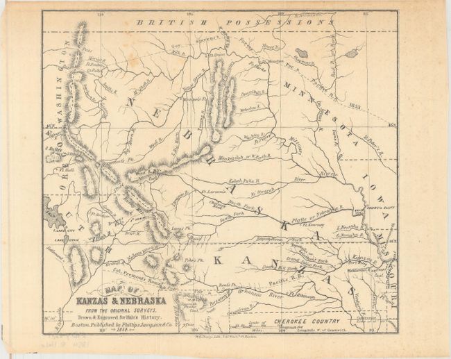
"Map of Kanzas & Nebraska from the Original Surveys", Hale, Edward E.

Subject: Central United States, Kansas, Nebraska Territory

Period: 1854 (dated)

Publication: Kanzas and Nebraska: The History, Geographical and Physical Characteristics...

Color: Black & White

Size:
7.5 x 6.8 inches
19.1 x 17.3 cm
Download High Resolution Image
(or just click on image to launch the Zoom viewer)

This small, handsome map is from one of the earliest books on the Kansas and Nebraska territories. The map extends from Fort Leavenworth west to Salt Lake City and from the Missouri Compromise Line north to the Canadian border. The recently established Nebraska Territory includes present-day North and South Dakota, Wyoming, and Montana. The routes of Governor Steven and Colonel Fremont's respective railroad surveys are traced, and several forts are named. Edward Everett Hale was a passionate partisan of Free Soil, attempting to encourage anti-slavery New Englanders to settle in Kansas and Nebraska.

References: Sabin #29624; Wagner-Camp #239a.

Condition: B+

Issued folding with a few spots of foxing and minor extraneous creasing.

Estimate: $150 - $180

Sold for: $90

Closed on 6/14/2017

Archived