Catalog Archive
Auction 163, Lot 182

"No. 1. A Map of Part of Alabama & Florida. Shewing the Route of the Proposed Columbus & Pensacola Rail Road", U.S. Corps of Engineers

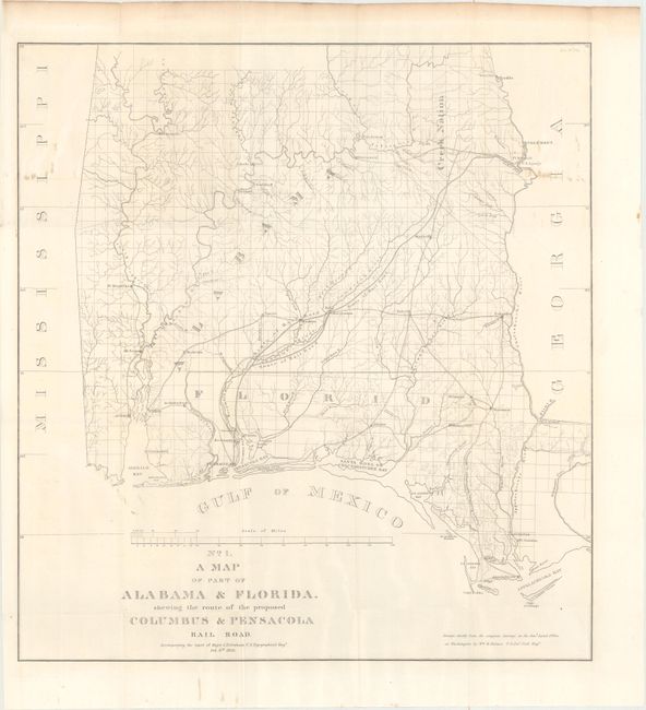
Subject: Alabama & Florida

Period: 1836 (dated)

Publication: HR Doc. 176, 24th Congress, 1st Session

Color: Black & White

Size:
20.8 x 22.1 inches
52.8 x 56.1 cm
Download High Resolution Image
(or just click on image to launch the Zoom viewer)

This early and notable railroad map shows parts of southern Alabama and western Florida in considerable detail. It notes the route of the railroad from Pensacola to Montezuma and on to Columbus and details the proposed road from Appalachicola to Marrianna. Numerous wagon roads, towns, and forts are shown. From the report by Major James Duncan Graham, Feb. 6th 1836. The map was drawn by Wm. R. Palmer chiefly from the original surveys in the General Land Office in Washington, D.C.

References: Claussen & Friis #125; Modelski (Railroads) #388.

Condition: B+

Issued folding with a few small stains at top right and light toning confined to the top sheet edge.

Estimate: $180 - $220

Sold for: $130

Closed on 6/14/2017

Archived