Subject: Atlases
Period: 1872 (published)
Publication:
Color: Hand Color
Size:
13 x 18 inches
33 x 45.7 cm
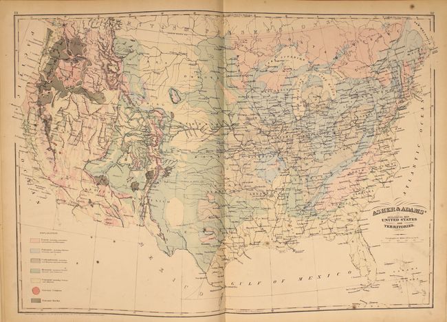
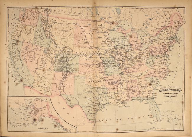
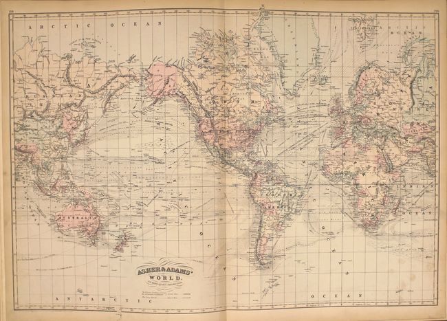
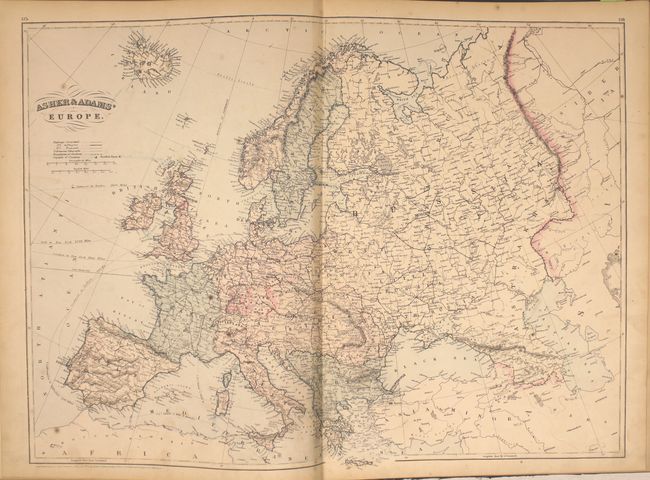
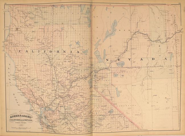
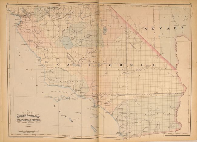
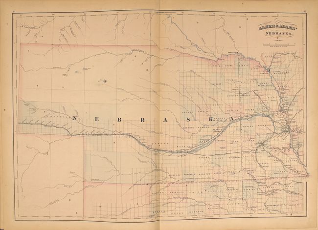
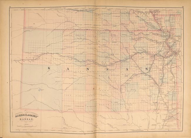
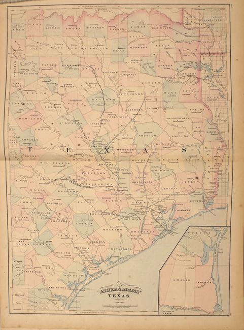
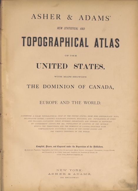
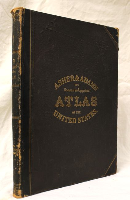
This large-format atlas of the United States is complete with 28 double-page maps. Asher & Adams' atlases were most notable for their excellent large-format maps of the states west of the Mississippi. The atlas includes a world map on Mercator's projection, a map of Europe, a United States and Territories map, a geological map of the US, and numerous state maps. The maps of Kansas and Nebraska depict the western portion of the states as largely unorganized, and the map of Texas only includes the eastern portion of the state. An index at back indicates population growth and the location of new post offices. There is also a 16-page supplement for Ohio with an extensive table of cities and relative locations, and a 25-page advertising section focused on Ohio businesses. Folio, 172 pp. with title page, index of maps, preface, maps, index and supplement. Original binding with quarter calf and tips over brown cloth-covered boards with gilt title on cover and spine.
References:
Condition: B+
The maps are generally very good with light scattered foxing, which is more prominent near the front of the atlas including the maps of the United States, Maine and Iowa. The map of Ohio/Indiana has a centerfold separation at bottom that extends 7" into the image. The text block is somewhat loose, the hinges are starting, and the covers and spine show light wear.