Catalog Archive
Auction 162, Lot 705

"Carte Reduite du Canal de Mozambique et des Isles de Madagascar de France de Bourbon, de Rodrigues et Autres...", Bellin, Jacques Nicolas
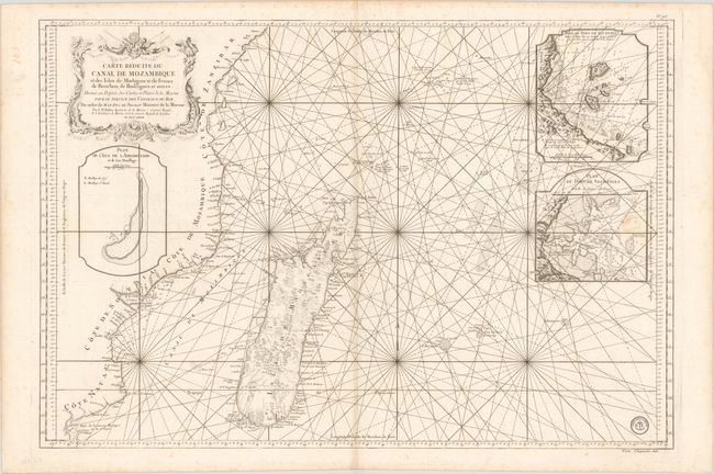
Subject: Madagascar

Period: 1767 (dated)

Publication:

Color: Black & White

Size:
34.4 x 23.4 inches
87.4 x 59.4 cm
Download High Resolution Image
(or just click on image to launch the Zoom viewer)

This sea chart centers on Madagascar and the southeastern coastline of Africa. Place names are confined to the coastlines, and the interior of Madagascar is filled with topographical detail. Two large insets at right depict the port of Victoria on the Mahe Island of Seychelles, while a third inset at left focuses on Assumption Island, also within Seychelles. Adorned with a lovely rococo cartouche. The engraved stamp of the Depot de la Marine is at bottom right, with the price below the neatline: "Prix. Cinquante Sols."

References:

Condition: B+

Watermarked paper with minor soiling, faint offsetting, and light foxing primarily confined to the blank margins. A previous owner's stamp on verso has caused a small stain in the lower inset at right.

Estimate: $400 - $500

Sold for: $300

Closed on 4/26/2017

Archived