Catalog Archive
Auction 162, Lot 704

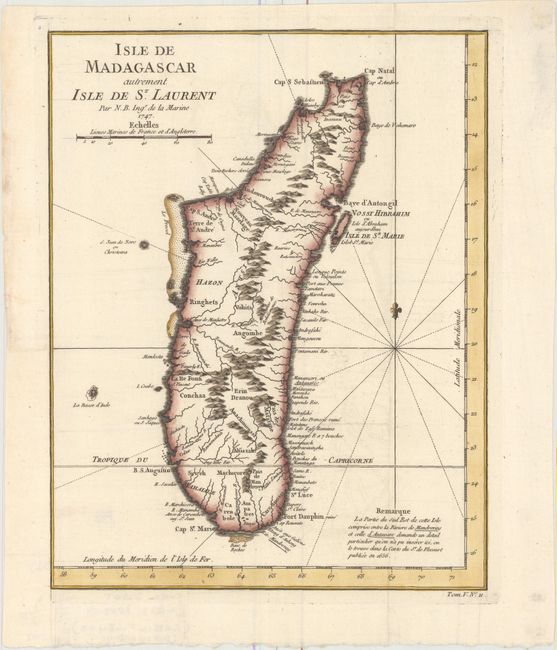
"Isle de Madagascar Autrement Isle de St. Laurent", Bellin, Jacques Nicolas

Subject: Madagascar

Period: 1747 (dated)

Publication: Prevost's Histoire Generale des Voyages

Color: Hand Color

Size:
9 x 11.5 inches
22.9 x 29.2 cm
Download High Resolution Image
(or just click on image to launch the Zoom viewer)

Fine map of Madagascar with good detail of the mountainous topography, rivers, sand bars, and harbors. The note at bottom right explains that the southeastern portion of the island, between the Antavare and Mandreray rivers, requires a level of detail that could not be included on this map, but is available on a map by Sr. de Flecourt published in 1656.

References:

Condition: A

A fine impression issued folding, now flat, on watermarked paper with faint offsetting and a binding trim at left that has been replaced with period-correct paper.

Estimate: $150 - $180

Sold for: $75

Closed on 4/26/2017

Archived